What is recorded here
The official Northern Ireland record identifies this as SLIPWAY. Recorded period: UNCERTAIN. The official map point was placed at the centre of the recorded archaeological site from the source map reference.
The monument record does not grant public access. Check the route and ask the landowner before entering private land.
- What survives
- Recorded monument
Places near here
 CHURCH (in ruins) in Chapel IslandCHURCH (in ruins) · 421 yd
.jpg?width=1280) DUAL COURT TOMB: AUDLEYSTOWN CAIRN in AudleystownDUAL COURT TOMB: AUDLEYSTOWN CAIRN · 469 yd
DUAL COURT TOMB: AUDLEYSTOWN CAIRN in AudleystownDUAL COURT TOMB: AUDLEYSTOWN CAIRN · 469 yd Audleystown CairnArchaeological place · 476 yd
 Chapel IslandIslet · 533 yd
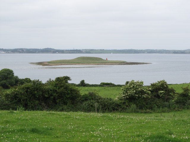 Jackdaw IslandIslet · 631 yd
 North LodgeGates/ Screens/ Lodges · 1032 yd
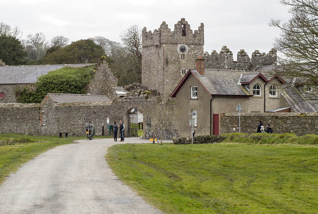 DESIGNED LANDSCAPE: CASTLE WARD in CastlewardDESIGNED LANDSCAPE: CASTLE WARD · 1427 yd
 Audleystown WoodWood · 1622 yd
 Castle WardCastle · 1663 yd
 TOWER-HOUSE: OLD CASTLE WARD in CastlewardTOWER-HOUSE: OLD CASTLE WARD · 1664 yd
 Castle Ward ForestForest · 1.0 mi
 Castle Ward HouseHeritage attraction · 1.2 mi