What is recorded here
No one knows when the green flag first stood in Slatt Lower, but it still points north and south like a needle dropped into grass. A smaller stone lies broken at its southwest foot, perhaps torn free during a storm or lifted by hands that never recorded their own name. The place resists memory, keeping its shape while refusing to appear on maps or enter human time.
Not marked on the 1841 or 1906 editions of the OS 6-inch maps. Irregular green stone flag (H c. 1.2m, Wth c. 43-0.63m, T c. 0.4m-0.11m) orientated N-S. Another stone (H c. 1.1m, Wth c. 0.22-0.55m) immediately to SW, may have broken off the standing stone.
This does not appear to be a standing stone, it is the wrong shape and size and form more like something that was erected in the nineteenth century. This could be the standing stone referred to in H. Roe's unpublished report.
The above description is derived from the published 'Archaeological Inventory of County Laois' (Dublin Stationery Office, 1995) compiled by P. David Sweetman, Olive Alcock and Bernie Moran. In certain instances the entries have been revised and updated in the light of recent research.
Date of upload: 17 December 2007
The monument record does not grant public access. Check the route and ask the landowner before entering private land.
- What survives
- Recorded monument
Places near here
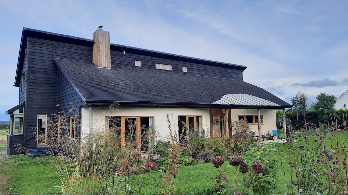 Enclosure in Slatt LowerEnclosure · 116 yd
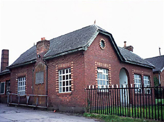 Fleming's Fireclaysworker's house · 1110 yd
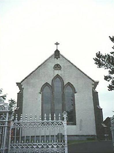 Saint Mary's Catholic Churchchurch/chapel · 1.0 mi
 Enclosure in AghadreenEnclosure · 1.2 mi
 CastleCastle, unclassified · 3.1 mi
 New Castle in ruinsCastle, unclassified · 3.3 mi
 European ashEuropean ash · 4.0 mi
 Kilgorey Old BurialVisitor information · 4.7 mi
 Timahoe Church and Round TowerVisitor information · 5.0 mi
 DM PenderMemorial · 6.7 mi
 Mass Rock WalkWalking route · 7.3 mi
 Cobbler's Castle WalkWalking route · 7.4 mi