What is recorded here
Barrow is a barrow (bowl-barrow) in Slane More, County Westmeath, Ireland. Surveyed in 2012, it is a poorly preserved, low-relief, sub-circular earthwork with a domed central mound measuring 14 metres north-south by 12.5 metres east-west. It is surrounded by a ditch that is practically invisible in the northwest quadrant but is roughly 2 metres wide where best preserved on the east-southeast side. The site lies on a flattish ledge 8 metres southwest of a platform-barrow, with ground falling away sharply to the south and southwest.
Surveyed in 2012 and described by McGuinness (2012, 38) as following: ‘Poorly preserved,low-‐relief, sub-circular bowl-barrow, comprising a domed central mound (Diam. 14m N-S x 12.5m E-W) surrounded by a poorly preserved ditch (practically invisible in NW quadrant) with an estimated overall diameter of 21.5m N-S x 19m E-W. Where best preserved at ESE side, ditch is roughly 2m in width, although it appears to be broader and more flattened out elsewhere; it reaches a maximum depth of 0.3m below and perpendicular to a line joining the mound to external ground level. Barrow lies on a kind of flattish ledge or low eminence 8m SW of, and slightly lower than, a platform-‐barrow (WM018-079----) in pastureland that slopes down to SW. Immediately S and SW of barrow, ground falls away sharply. Another possible prehistoric burial mound (WM018-081----) lies in field across road c. 50m to SW. Further upslope, on hilltop to NE, are three additional barrows (WM018-078----). All six sites form an approximately linear arrangement from NE to SW’.
Compiled by: Caimin O'Brien based on details provided by David McGuinness.
Date of upload: 7 April 2016
Bowl barrow, likely dating to the Early Bronze Age. It represents a common funerary monument type in the British Isles, reflecting early ceremonial and burial practices.
The monument record does not grant public access. Check the route and ask the landowner before entering private land.
- What survives
- Recorded monument
Places near here
 Partially hachuredFairy fort / earthen ringfort · 1079 yd
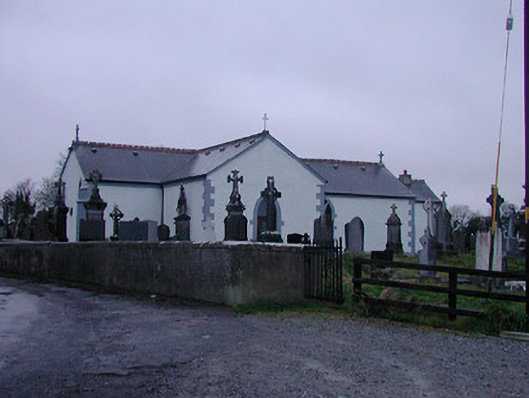 Catholic Church of the Assumptionchurch/chapel · 1206 yd
 OutlinedFairy fort / earthen ringfort · 1.0 mi
 Strand Househouse · 1.3 mi
 IndicatedCastle, motte · 1.5 mi
 Nugent's CastleCastle · 1.6 mi
 WestmeathVisitor information · 1.6 mi
 Carrickphilbin IslandIslet · 1.8 mi
 Srudarra IslandIslet · 2.1 mi
 Ancient Ring FortWood · 4.1 mi
 Baronstown ForestWood · 4.8 mi
 Abbeyshrule AbbeyRuins · 9.4 mi