What is recorded here
In pasture, 160m N of the Camoge River, which also forms the townland boundary with Grange. A cluster of five barrows (LI022-258/259/260/261/262----) lie 260m to S. Not depicted on OSi historic maps. Identified as a rectangular-shaped feature on OSi aerial photographs taken 2005-12. Visible as a rectangular-shaped area (63m NW-SE; 40m ENE-WSW) of scrub defined by a drainage channel in field of tillage on Digital Globe orthophotos taken 2011-13 and on Google Earth orthoimages taken 28/06/2018.
See attached Google Earth orthoimage taken 28/06/2018
Compiled by: Alison McQueen and Vera Rahilly
Date of upload: 28 August 2020
The monument record does not grant public access. Check the route and ask the landowner before entering private land.
- What survives
- Recorded monument
Places near here
 BarrowBarrow, mound barrow · 341 yd
 Field system in SkoolhillField system · 613 yd
 Bawn in SkoolhillBawn · 693 yd
 Banoge's WellSpring · 978 yd
 Skool HillMountain / peak · 1019 yd
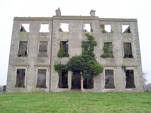 The Grangecountry house · 1041 yd
 Sixmile Bridgebridge · 1375 yd
 Rockstown Castle (in ruins)Castle, tower house · 1.4 mi
 Carnane RockNamed rock · 2.1 mi
 The SpectaclesVisitor information · 2.4 mi
 Lough GurVisitor information · 2.4 mi
 Lough Gur Heritage CentreVisitor information · 2.4 mi