
What is recorded here
Timogue castle vanished beneath river silt and memory, leaving only a mill ghost beside the graveyard. The water kept what stone and human hands had built, turning a defensive site into a fluid archive. Anyone standing at that bank touches the same hidden depth: a castle no longer visible, but still shaping the place through loss.
Reference to site of castle here where it is described as 'The site of an ancient castle is to be seen near the graveyard (LA019-007002-), and beside a former flour Mill on the stream' (O'Hanlon and O'Leary 1907, vol. 1, 338). Situated beside Timogue River. No visible surface remains. Remains of a mill located here.
The above description is derived from the published 'Archaeological Inventory of County Laois' (Dublin Stationery Office, 1995) compiled by P. David Sweetman, Olive Alcock and Bernie Moran. In certain instances the entries have been revised and updated in the light of recent research.
Date of upload: 17 December 2007
The monument record does not grant public access. Check the route and ask the landowner before entering private land.
- What survives
- Recorded monument
Places near here
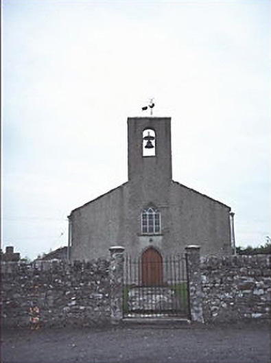 Saint Mogue's Church (Timogue)church/chapel · 95 yd
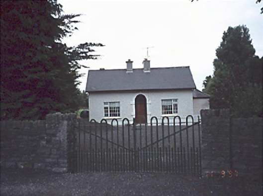 Woodlands Househouse · 165 yd
 Enclosure in LoughteeogEnclosure · 1268 yd
 Prospect Ho.Castle, unclassified · 1.1 mi
 Enclosure in RaheenaniskyEnclosure · 1.2 mi
 European BeechEuropean Beech · 1.8 mi
 Bawn in StradballyBawn · 2.1 mi
 CEMETERYGraveyard · 2.1 mi
 Oughaval Wood MapVisitor information · 2.2 mi
 Mass Rock WalkWalking route · 2.3 mi
 Beech Way WalkWalking route · 2.4 mi
 Timahoe Church and Round TowerVisitor information · 2.4 mi
Other information
Photo: Credit not shown in the picture search · Rights wording not checked; contact us if this picture should be removed