What is recorded here
Visible on a GSI aerial photograph (W 467-6) as the cropmark of a possible enclosure. On level pasture in a stud farm c. 200m W of a castle (KD011-016----) and c. 250m SW of a possible enclosure (KD011-030----). No visible surface traces survive.
Compiled by: Gearóid Conroy
Date of upload: 10 June 2011
The monument record does not grant public access. Check the route and ask the landowner before entering private land.
- What survives
- Recorded monument
Places near here
 Enclosure in SimmonstownEnclosure · 229 yd
 CastleCastle, tower house · 692 yd
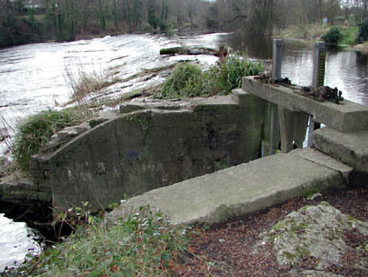 The Abbeysluice/sluice gate · 773 yd
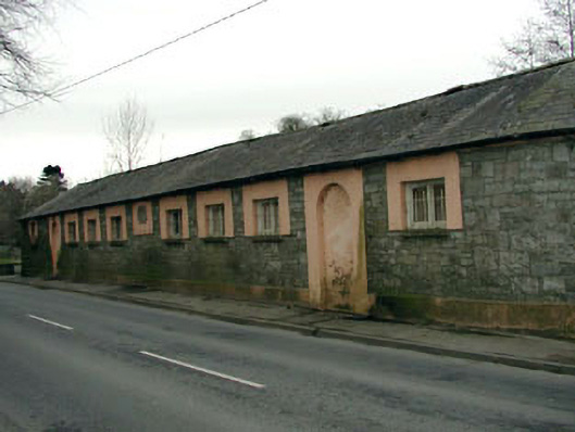 The Abbey National Schoolschool · 830 yd
 Oriental planeOriental plane · 880 yd
 John McLaughlinMemorial · 988 yd
 Enclosure in LoughlinstownEnclosure · 1274 yd
 Arthur GuinessMemorial · 1320 yd
 Common LimeCommon Lime · 1468 yd
 Castletown HouseHeritage attraction · 1.4 mi
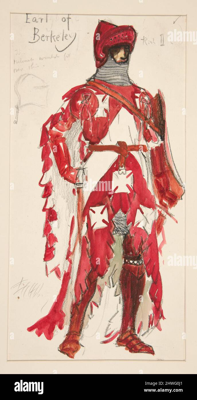 Berkeley Costume and Toy CollectionMuseum · 1.4 mi
 Grand Canal WayWalking route · 1.8 mi