
What is recorded here
Situated on N-facing slope of a low ridge running E-W, in pasture, with good views to N.
Depicted on the revised 1910 ed. OS 25-inch map as a slightly irregular D-shaped enclosure. Monument described in 1979 as a D-shaped area (dims. 37m NE-SW; approx. 26m NW-SE) defined by a curvilinear bank and by a field fence and laneway along the straight side to E. The bank is visible from SW-W-N-NNE and is best preserved where highest from NW-N. The bank is reduced to a scarp from SSE-S-SW. A modern field bank intersects the perimeter at NW. There is no sign of an original entrance, although there is a modern entrance gap at SW. The interior is level and featureless. Levelled monument is not visible today on Digital Globe aerial photography.
Compiled by Alison McQueen, Vera Rahilly and Caimin O’Brien.
Date of upload: 08 November 2019
The monument record does not grant public access. Check the route and ask the landowner before entering private land.
- What survives
- Recorded monument
Places near here
 OutlinedFairy fort / earthen ringfort · 349 yd
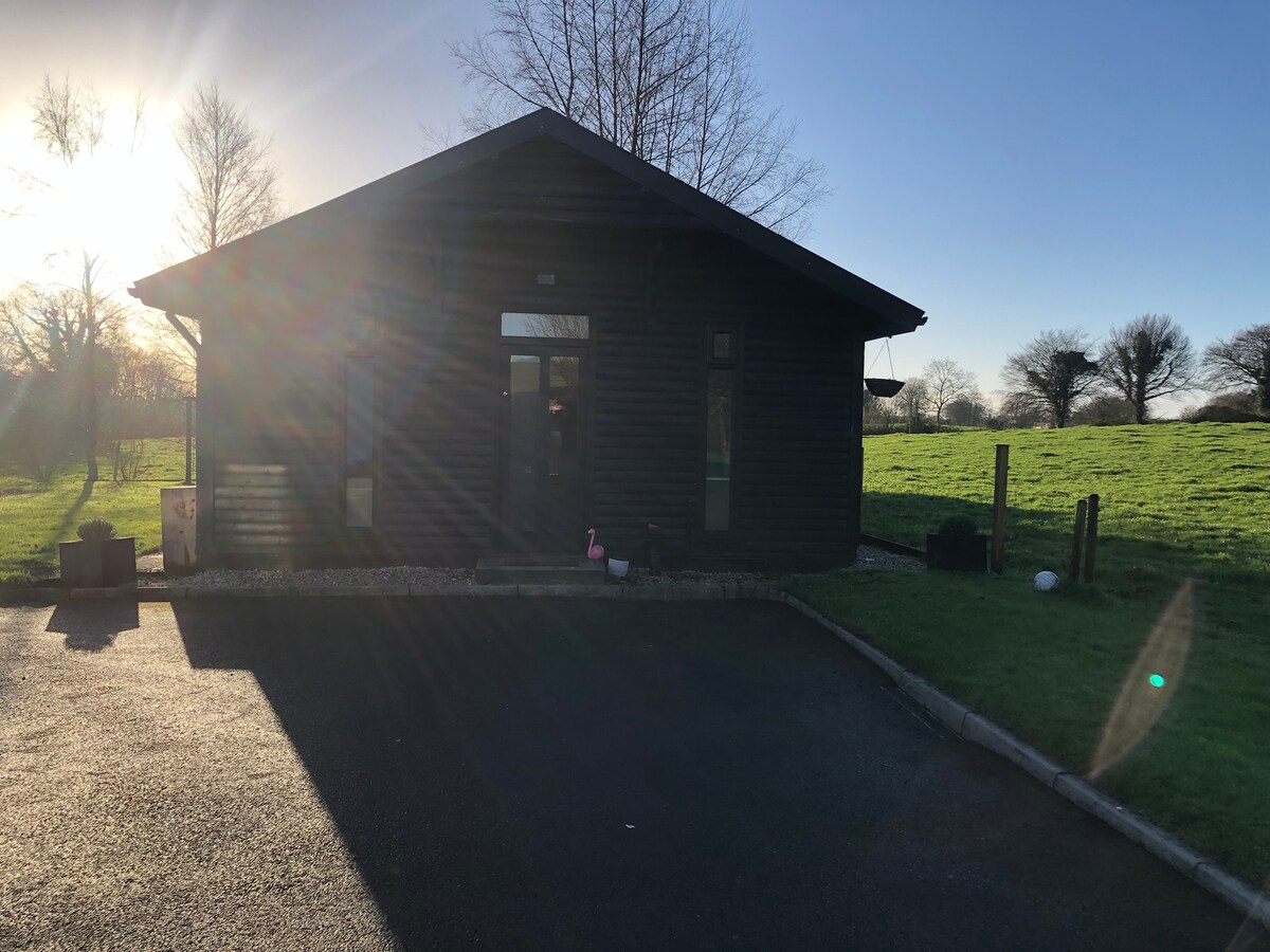 Enclosure in CooleenEnclosure · 462 yd
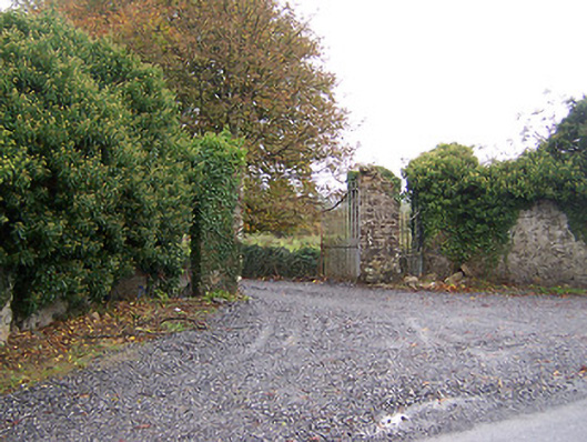 Shurock Housedemesne walls/gates/railings · 774 yd
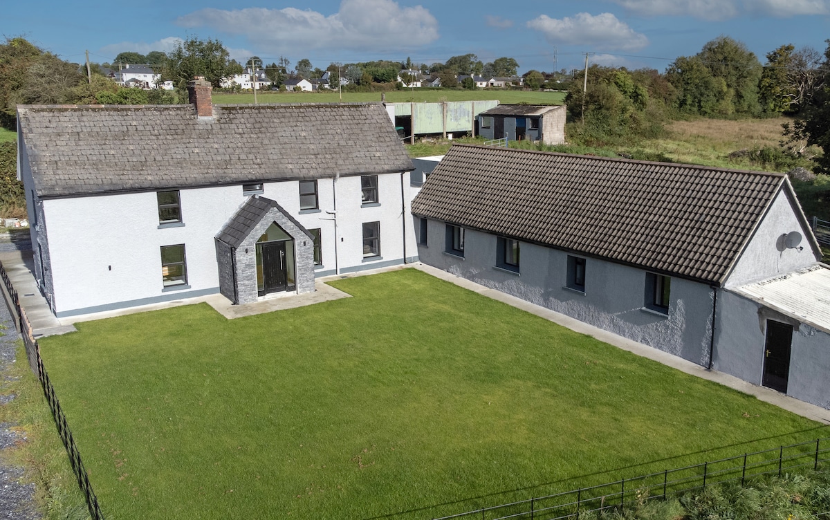 Bawn in DuneganBawn · 1288 yd
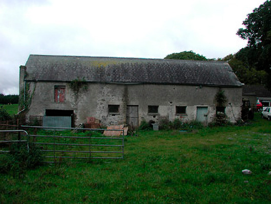 Ballynagarby Housedairy, outbuilding · 1.0 mi
 CastleCastle, unclassified · 1.1 mi
 Dún na Sí Heritage CentreMuseum · 1.2 mi
 Dún na SíMuseum · 1.2 mi
 Charles BianconiMemorial · 1.6 mi
 Moate HillMountain / peak · 1.8 mi
 Roughan HillMountain / peak · 4.8 mi
 ToberaskeenSpring · 5.2 mi
Other information
Photo: Credit not shown in the picture search · Rights wording not checked; contact us if this picture should be removed