What is recorded here
Sheheree is a steep west-facing pasture in County Kerry where a ghost wall radiates from the rath. The vanished bank stretches fifty metres across the slope, visible only in aerial photography rather than under human feet. It may have divided pasture or marked a boundary forgotten by later fields. The rath still stands while its wall has dissolved into grass and memory.
In pasture, on a steep W-facing slope. The cropmark of a linear bank (L c. 50m), radiating from the NW arc of the rath (KE067-033----), is visible in an aerial photograph (OSAP, 2119-20) taken in 1989. This possible field wall is not visible at ground level.
Compiled by: Elizabeth Byrne, Ursula Egan and Sheila Ronan, Archaeological Survey Unit, University College, Cork.
Date of upload: 31 January 2011
The monument record does not grant public access. Check the route and ask the landowner before entering private land.
- What survives
- Recorded monument
Places near here
 Sheheree Bog Nature ReserveNature reserve · 439 yd
 Fairy fort / earthen ringfort in FaghbaneFairy fort / earthen ringfort · 844 yd
 Flesk CastleCastle · 917 yd
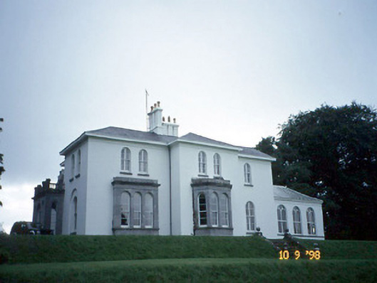 Coolclogher Housecountry house · 970 yd
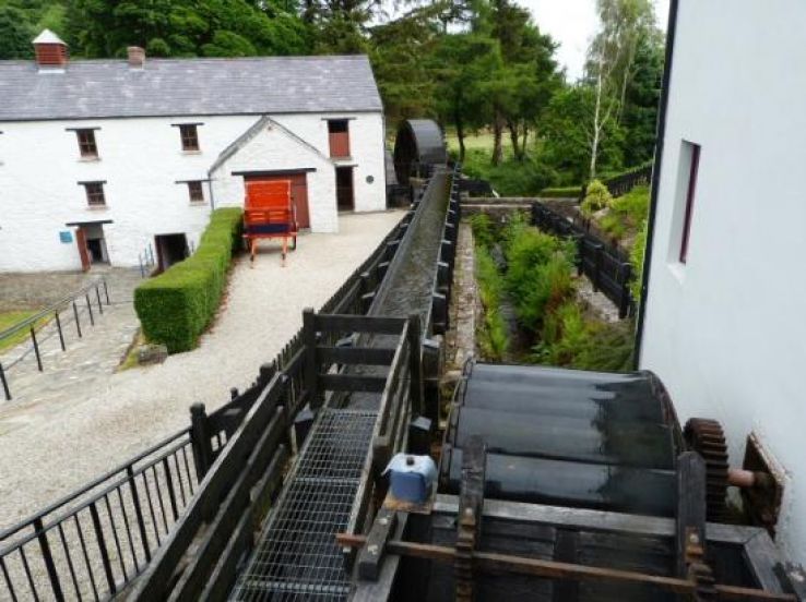 Flesk Mills (Corn) (Disused)Mill, unclassified · 1148 yd
 Cross (present location) in CarrigafreaghaneCross (present location) · 1358 yd
 McCarthy Mor CastleCastle · 1.0 mi
 The Blue PoolGallery · 1.2 mi
 Lissivigeen Stone CircleHeritage attraction · 1.2 mi
 Mass RockNamed rock · 1.4 mi
 Blue Pool Nature ReserveWood · 1.4 mi
 Castlelough BayBay · 1.5 mi