
What is recorded here
Shankill holds a forgotten double-ring chamber, visible only when hungry crops reveal the buried truth. The outer curve still bends the local field boundary, proving the land remembers the shape even when human memory has faded. A nearby ringfort watches from the northeast, suggesting this was no casual marker but a lived boundary between domains. The enclosure does not need praise; it waits for eyes sharp enough to read the living soil.
In tillage. A roughly circular enclosure (overall diam. c. 62m; int. diam. c. 46m) identified on Google Earth Pro imagery (imagery date 14 July 2018) by Simon Dowling and Jean-Charles Caillère. The cropmark indicated that the enclosure has an inner and outer fosse, these are c. 7-9m apart. The outer curve of the monument is respected by a curving field boundary along the W half from SW-W-NNW and another E-W field boundary, which is also a water course, runs along the S side. There is a ringfort (KK016-004----) c. 260m to the NE.
See attached photograph:
KK016-026----_01 Image ©2019 CNEW/Airbus: Google Earth Pro satellite imagery (14 July 2018)
Compiled by: Jean Farrelly
Date of upload: 10 December 2019
The monument record does not grant public access. Check the route and ask the landowner before entering private land.
- What survives
- Recorded monument
Places near here
 Rudolf TrenchArchaeological place · 668 yd
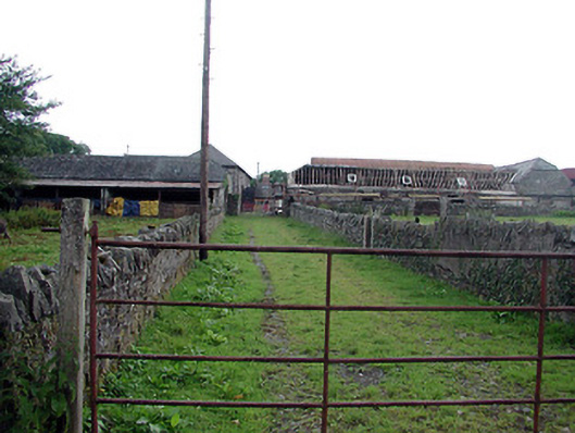 Shankill Castlefarmyard complex · 851 yd
 Shankill Church (in ruins)Church · 1006 yd
 The Green GardenWood · 1212 yd
 Brophys of the PostArchaeological place · 1440 yd
 Church (in ruins), GraveyardChurch · 1.3 mi
 Lock Keeper's House and Lodge MillsVisitor information · 2.4 mi
 The Columban WayVisitor information · 2.9 mi
 Church, GraveyardChurch · 3.2 mi
 Black Castle (in ruins)Castle, tower house · 3.4 mi
 Site of CastleCastle, unclassified · 3.5 mi
 Sweet ChestnutSweet Chestnut · 3.7 mi
Other information
Photo: Credit not shown in the picture search · Rights wording not checked; contact us if this picture should be removed