
What is recorded here
Shancroaghan hides a fort above Town Lough, preserved only in local memory and the name of the field where it stood. The earth swallowed the stones, but the people kept the shape alive by pointing children toward the right patch of grass. Forgetting is easier than remembering a ghost fort, yet Shancroaghan refused to release it.
Not marked on OS 1836 or 1876 eds. Local tradition of a 'fort' in this townland, overlooking Town Lough to S. A field called the 'fort field' is pointed out as the location of the site. Not visible at ground level.
The above description is derived from the published 'Archaeological Inventory of County Cavan' (Dublin: Stationery Office, 1995). In certain instances the entries have been revised and updated in the light of recent research.
Date of upload/revision: 22 December 2008
The monument record does not grant public access. Check the route and ask the landowner before entering private land.
- What survives
- Recorded monument
Places near here
 Pedunculate OakPedunculate Oak · 540 yd
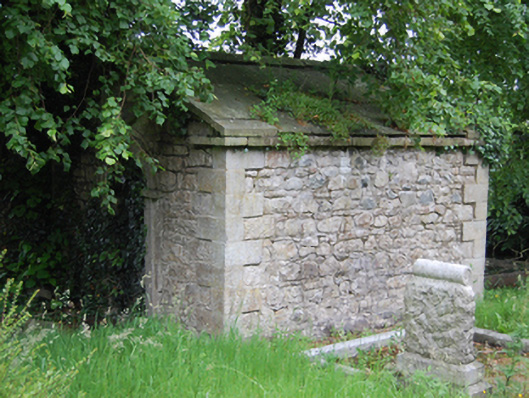 mausoleummausoleum · 642 yd
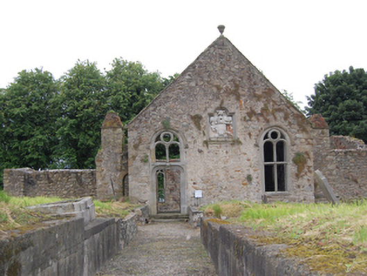 church/chapelchurch/chapel · 657 yd
 Killeshandra Irish Countrywomen's Association 70th AnniversaryMemorial · 878 yd
 Castlehamilton DemesneForest · 1289 yd
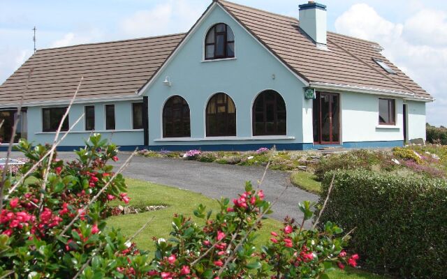 Drom Mullac HouseArchaeological place · 1310 yd
 IndicatedCastle, unclassified · 1609 yd
 Tober PatrickHoly well · 1.1 mi
 Woodenhouse BayBay · 2.3 mi
 Inch IslandIslet · 2.4 mi
 Killykeen Forest ParkForest · 2.4 mi
 Lough OughterLake and island landscape · 2.5 mi
Other information
Photo: Credit not shown in the picture search · Rights wording not checked; contact us if this picture should be removed