What is recorded here
No visible earthwork survives in Shanballard, though a 1932 map marked a sixty-five-metre ridge boundary. That vanished line may have guided herds, marked a boundary or simply caught light on a galloping day. The grass has erased the shape, but the ridge still stands where human hands once bent it.
On a prominent ridge in grassland. Marked on 3rd ed. of OS 6-inch map (1932) as W half of an irregularly shaped area (N-S c. 65m) defined by a single line of hachures. No visible surface trace survives.
The above description is derived from the published 'Archaeological Inventory of County Galway Vol. II - North Galway'. Compiled by Olive Alcock, Kathy de hÓra and Paul Gosling (Dublin: Stationery Office, 1999).
Date of upload: 05 August 2010
The monument record does not grant public access. Check the route and ask the landowner before entering private land.
- What survives
- Recorded monument
Places near here
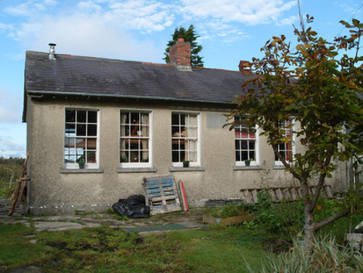 Saint Monica's National Schoolschool · 196 yd
 CnockannuerEnclosure · 1333 yd
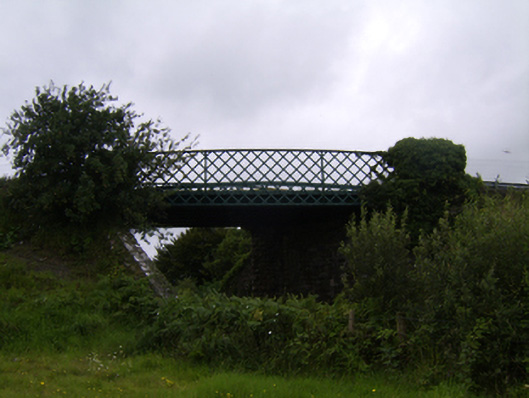 bridgebridge · 1.2 mi
 Enclosure in Ballyglass (tiaquin By.),sheeaun (tiaquin By.)Enclosure · 1.8 mi
 Woodlawn WoodsForest · 2.6 mi
 European Crab AppleEuropean Crab Apple · 2.8 mi
 Tiaquin Castle (Site of)Castle, unclassified · 4.2 mi
 Site of Lisnamoltaun CastleCastle, unclassified · 4.8 mi
 Menlough IRAMemorial · 5.3 mi
 Kilconnell AbbeyHeritage attraction · 6.3 mi
 Battle of Aughrim Interpretative CentreMuseum · 10 mi
 Battle of AughrimMajor battlefield · 10 mi