What is recorded here
Shanaghan Graveyard has vanished entirely from the rough grazing east of Shanaghan Lough, leaving behind no stones, walls or visible mark. St. Shanaghan's well still stands a short distance away, suggesting the church and burial ground once clustered around that water. The land may have swallowed the grave markers or people may have simply stopped tending the site, but the well keeps the name alive in donegal soil.
Marked on the 2nd and 3rd editions of the OS 6-inch maps as the site of 'Loughros Church' (DG073-029001-) with a burial ground (DG073-029003-) marked to the SSE on the 2nd edition. No trace of either a church or burial ground survives. A short distance to the SSE is St. Shanaghan's well (DG073-029002-). (Ó Muirgheasa No. 38) The site is located in rough grazing land to the E of Shanaghan Lough.
The above description was derived from the 'Archaeological Survey of County Donegal. A description of the field antiquities of the County from the Mesolithic Period to the 17th century.' Compiled by: Brian Lacey with Eamon Cody, Claire Cotter, Judy Cuppage, Noel Dunne, Vincent Hurley, Celie O'Rahilly, Paul Walsh and Seán Ó Nualláin (Lifford: Donegal County Council, 1983). In certain instances the entries have been revised and updated.
Date of upload: 22 September 2008
The monument record does not grant public access. Check the route and ask the landowner before entering private land.
- What survives
- Recorded monument
Places near here
 Loughros Church (Site of)Church · 101 yd
 outbuildingoutbuilding · 600 yd
 Former Crannogeboy Fairy FortFairy fort / ringfort · 854 yd
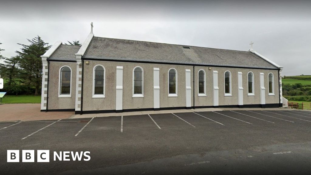 Church in KilcashelChurch · 1.4 mi
 IllancreeveIslet · 1.5 mi
 John DohertyMemorial · 1.6 mi
 Assaranca Waterfallwaterfall · 2.5 mi
 Maghera WaterfallWaterfall · 2.5 mi
 Maghera StrandBeach / strand · 2.6 mi
 Carrickalahagh HeadlandPublicly named cliff or headland · 2.6 mi
 Maghera CavesSea caves · 3.1 mi
 Tramore StrandBeach / strand · 3.2 mi