What is recorded here
Not located. According to Leask it was removed to St. Kevin's Church (WI023-009----), but it is no longer there (Leask 1950, fig. 19d, 42). Described by Leask (1950, 42) as a ‘small slab, 2 inches [0.05m] thick. On the west Face a Greek cross with hollowed angles is incised and a small hole is pierced through the centre. It stood 20 feet [6m] west of the Round Tower but has been removed to St. Kevin's Church’.
Compiled by: Caimin O'Brien
Date of upload: 20 December 2012
See linked document with drawing of slab taken from Robert Cochrane Historical and Descriptive Notes with Ground Plans, Elevations, Sections and Details of the Ecclesiastical Remains at Glendalough, Co. Wicklow. Extract from the Eightieth Annual Report of the Commissioners of Public Works in Ireland 1911-12. Dublin, 1925.
This remains an important historical record, but the official description says the monument is no longer visible or has been destroyed. The monument record does not grant public access. Check the route and ask the landowner before entering private land.
- What survives
- No visible remains or recorded as destroyed
Places near here
 CamaderryMountain / peak · 271 yd
 Turlough HillMountain / peak · 1021 yd
 Old Lead MineRuins · 1258 yd
 Old LuganureRuins · 1319 yd
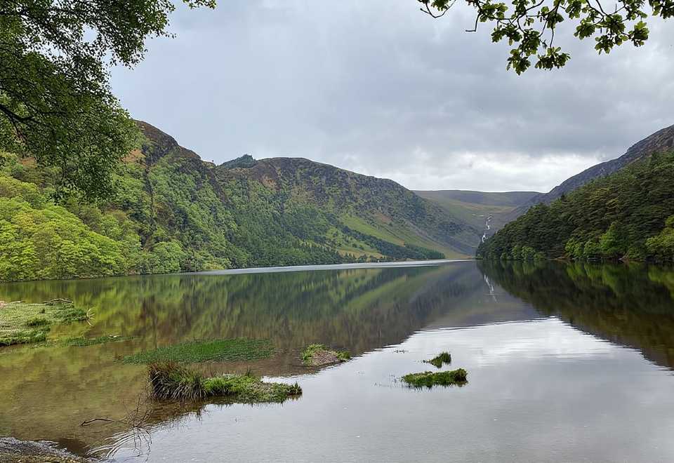 Glendalough CragsCliff · 1719 yd
 Wicklow GapMountain pass · 1.4 mi
 GlendaloughViewpoint · 1.7 mi
 Cross in Lugduff (ballinacor North By.)Cross · 2.0 mi
 Glendalough PhotoPostHeritage attraction · 2.2 mi
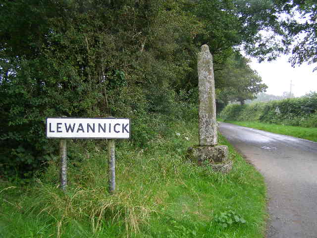 Stone CrossCross · 2.2 mi
 Poulanass WaterfallWaterfall · 2.4 mi
 Glanmalure North CragCliff · 2.5 mi