What is recorded here
Smyth (1985, 121) in a discussion of 17th-century settlement in South Tipperary mentions the possibility of small agglomerated settlement at Ballinree which may have involved 'the settlement arrangements associated with the management of a single townland by a resident farmer-owner and his partners/labourers'. In the Civil Survey (1654-6) 'Water Butler of Nodstowne dece[ase]d Irish Papist' is listed as the proprietor of 'Heatstowne als Ballinree' in 1640 where there was 'a large Bawne' (Simington 1931, vol. 1, 216). There is no indication of a bawn (TS053-015001-) or settlement at the former Ballinree House, where it is indicated on the 1st (1840) ed. OS 6-inch map. The settlement remains unlocated within the townland.
Compiled by: Jean Farrelly
Date of upload: 26 August 2011
The monument record does not grant public access. Check the route and ask the landowner before entering private land.
- What survives
- Recorded monument
Places near here
 IndicatedFairy fort / earthen ringfort · 318 yd
 Enclosure in Ballytarsna (hackett)Enclosure · 932 yd
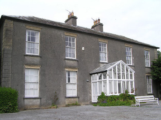 Gaile Househouse · 1.1 mi
 Synone CastleCastle · 1.1 mi
 Ballytarsna Church (in Ruins), Grave YardChurch · 1.2 mi
 Ballytarsna Castle (in ruins)Castle, tower house · 1.4 mi
 Killough Hill (site of)Mountain / peak · 2.1 mi
 Ballyknock HillMountain / peak · 3.3 mi
 Rock of CashelHeritage attraction · 4.5 mi
 Cormac's ChapelHeritage attraction · 4.5 mi
 The Rock Of CashelVisitor information · 4.5 mi
 Black mulberryBlack mulberry · 4.6 mi