What is recorded here
In pastureland. According to McCaffrey (1952, 251, no. 51a), this house site was within '60' [c. 18.2m]' of the possible mound barrow (GA104-046001-); however the map co-ordinates he provided for it were exactly the same as those for the barrow. The area around the barrow was checked but no visible surface trace of the house was evident. Not precisely located.
Compiled by: Olive Alcock
Date of upload: 14 November 2019
The monument record does not grant public access. Check the route and ask the landowner before entering private land.
- What survives
- Recorded monument
Places near here
 Dermot & Grania's BedArchaeological place · 552 yd
 CaveMan-made underground passage · 952 yd
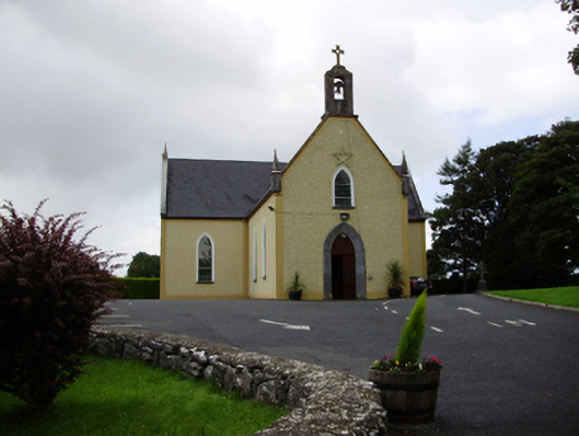 Saint Killian's Catholic Churchchurch/chapel · 1718 yd
 Ballymanagh Ho.House, 18th/19th century · 1.0 mi
 CarnanthomasCastle, unclassified · 1.1 mi
 Cregg Castle (in ruins)Castle, tower house · 1.4 mi
 Moyard WoodWood · 4.2 mi
 Blake's IslandIslet · 4.2 mi
 Ash IslandIslet · 4.6 mi
 Kilcornan ForestWood · 7.3 mi
 Drumacoo Monastic SiteHeritage attraction · 8.9 mi
 KnocknarebanaMountain / peak · 9.3 mi