What is recorded here
RATH: CUSACK'S FORT is an early Christian rath in County Down, Ireland, where a simple earthen bank still marks the boundary between a private life and the open road. It may have held a small dwelling, a workshop or a worship space, yet the name preserves a lost family and the fort preserves the shape of their choices. Walk its edge at dusk and imagine the knock on a wooden door, the smell of bread and the sudden silence of a field emptied by time.
The official Northern Ireland record identifies this as RATH: CUSACK'S FORT. Recorded period: E.CHRIST.. The official map point was placed at the centre of the recorded archaeological site from the source map reference.
The monument record does not grant public access. Check the route and ask the landowner before entering private land.
- What survives
- Recorded monument
Places near here
 CASHEL with HOUSE & Man-made underground passage: WHITE FORT in DrumaroadCASHEL with HOUSE & Man-made underground passage: WHITE FORT · 1613 yd
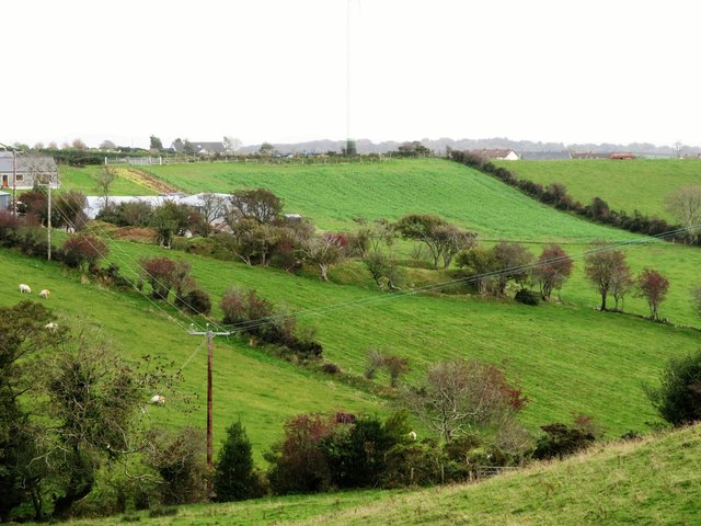 RATH in DunturkRATH · 1.2 mi
 Eleven Acres WoodForest · 1.4 mi
 Seaforde HouseCastle · 1.4 mi
 CHURCH: DRUMCATH in DrumcawCHURCH: DRUMCATH · 1.5 mi
 Dunmore MountainMountain / peak · 1.8 mi
 Seaforde Woodland WalkWalking route · 1.8 mi
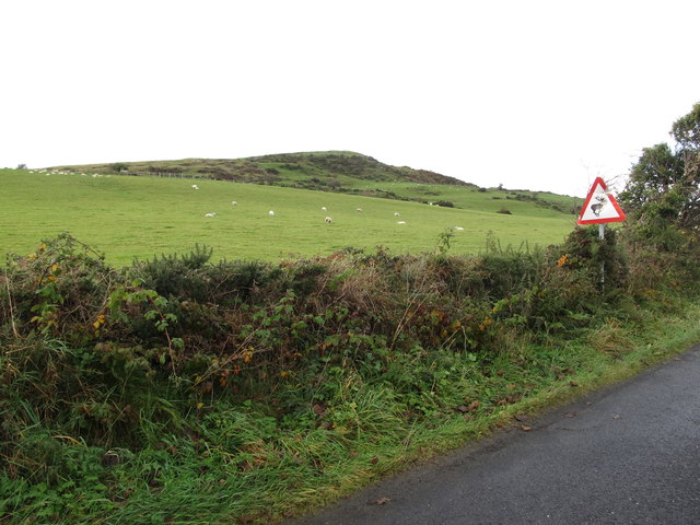 Dunturk MountainMountain / peak · 1.9 mi
 Bohill ForestWalking route · 2.1 mi
 Tievenadarragh WoodsWood · 2.4 mi
 CHURCH: RATHCATH (unlocated) in CloughCHURCH: RATHCATH (unlocated) · 2.6 mi
 Clough CastleCastle · 2.6 mi