
What is recorded here
Scotch Rath stands on a ridge above the river as a rectangular limestone ruin, its bawn wall still casting a shadow across the grass. The house dates from the late medieval period, when strength mattered more than comfort, and its neat entrance faced northeast toward arriving danger. Whatever family lived there left no name behind, only stones large enough to break a siege and empty enough to keep a secret.
Marked on the 1841 and 1909 eds OS 6-inch maps. No historical references known. On a ridge overlooking river to S. Ruins of a possible late medieval house, rectangular in shape (dims.8.7m NE-SW, 5.6m NW-SE) constructed with limestone rubble. Entrance at NE. Enclosed by a bawn wall (LA023-017002-) of limestone rubble with a slight base-batter.
The above description is derived from the published 'Archaeological Inventory of County Laois' (Dublin Stationery Office, 1995) compiled by P. David Sweetman, Olive Alcock and Bernie Moran. In certain instances the entries have been revised and updated in the light of recent research.
Date of upload: 17 December 2007
The monument record does not grant public access. Check the route and ask the landowner before entering private land.
- What survives
- Recorded monument
Places near here
 Gortnaclea Castle (ruins)Castle · 684 yd
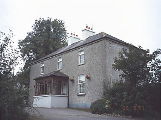 Gortnaclea Househouse · 849 yd
 Enclosure in ScotchrathEnclosure · 940 yd
 Enclosure in KilleanyEnclosure · 1585 yd
 Church in ruinsChurch · 1694 yd
 Killeany Castle (ruins)Castle · 1.4 mi
 European PearEuropean Pear · 3.0 mi
 Birchfield PlantationForest · 3.4 mi
 Abbeyleix Heritage CentreMuseum · 4.6 mi
 Knocknamoe HouseMemorial · 4.6 mi
 Anker's IslandIsland · 8.7 mi
 Cnoc SeanrathaMemorial · 10 mi
Other information
Photo: Credit not shown in the picture search · Rights wording not checked; contact us if this picture should be removed