What is recorded here
Half a mile west of Scandally, a Rath rises from the fields like a forgotten fist. It is not a castle or a house, but a boundary made visible: earth shaped until people could see the edge of the world. That is all a Rath needs. It still stands because the shape refused to disappear.
The official Northern Ireland record identifies this as RATH. Recorded period: E.CHRIST.. Recorded protection: Scheduled. The official map point was placed at the centre of the recorded archaeological site from the source map reference.
The monument record does not grant public access. Check the route and ask the landowner before entering private land.
- What survives
- Recorded monument
Places near here
 STONE CROSS in MagheraharSTONE CROSS · 1690 yd
 ENCLOSURE in Killyveagh GlebeENCLOSURE · 1746 yd
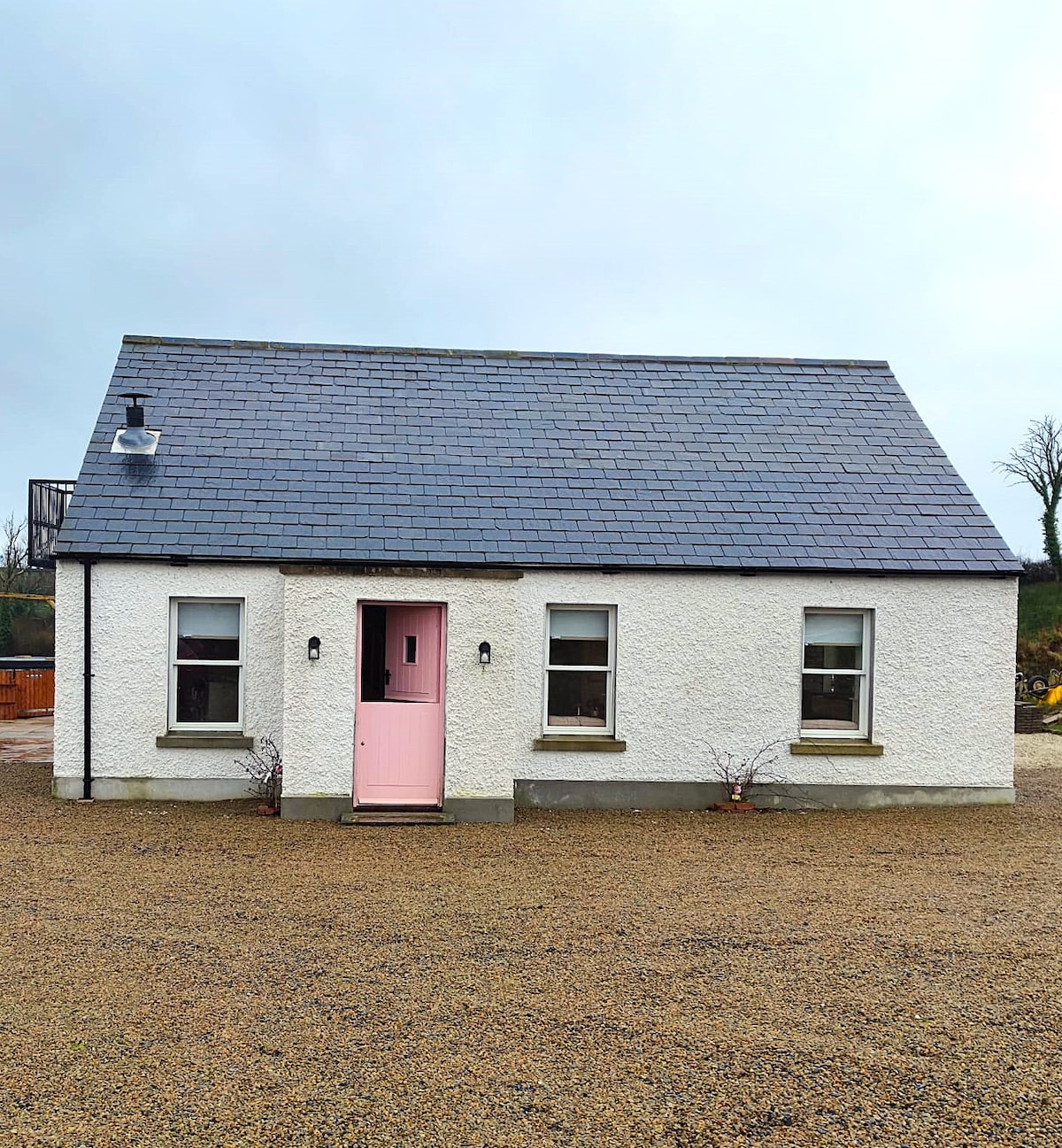 C17TH HOUSE & BAWN (unlocated) in CosbystownC17TH HOUSE & BAWN (unlocated) · 1.2 mi
 Monea CastleHeritage attraction · 1.4 mi
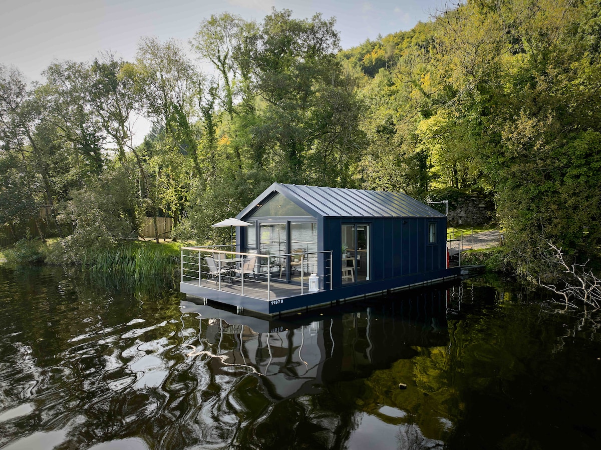 Carrickreagh WoodWood · 1.6 mi
 Pushen IslandIsland · 1.8 mi
 Orange HallHall · 1.9 mi
 Gall IslandIsland · 2.0 mi
 C17TH CHURCH in DerrygonnellyC17TH CHURCH · 2.0 mi
 Tullycarbry ForestForest · 2.1 mi
 PLANTATION BAWN in RossclarePLANTATION BAWN · 3.2 mi
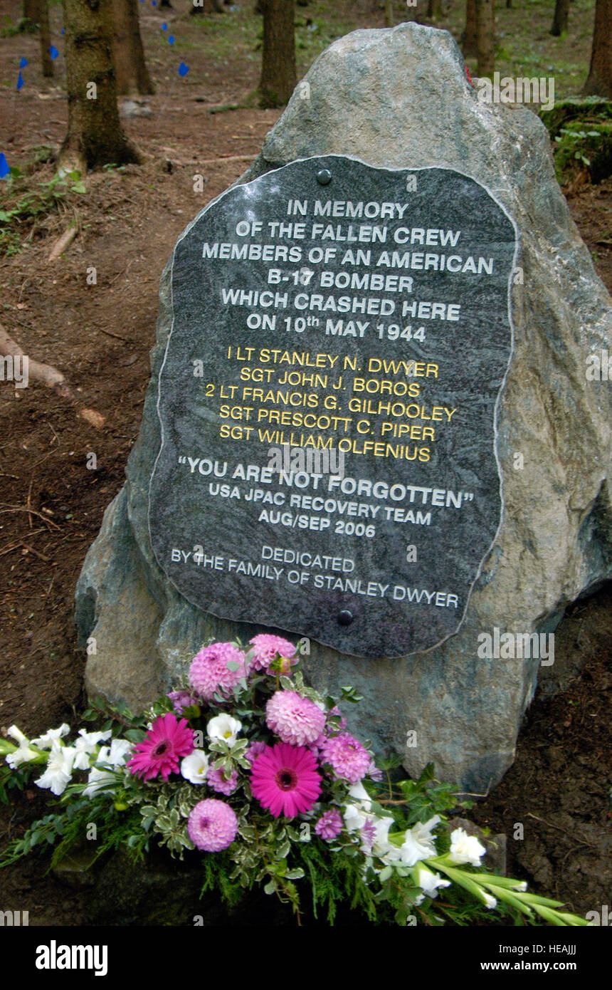 B17 Crash MemorialMonument · 4.6 mi