
What is recorded here
The official Northern Ireland record identifies this as STONE CROSS. Recorded period: MEDIEVAL. The official map point was placed at the centre of the recorded archaeological site from the source map reference.
A local church or high cross; wider significance not recorded.
The monument record does not grant public access. Check the route and ask the landowner before entering private land.
- What survives
- Recorded monument
Places near here
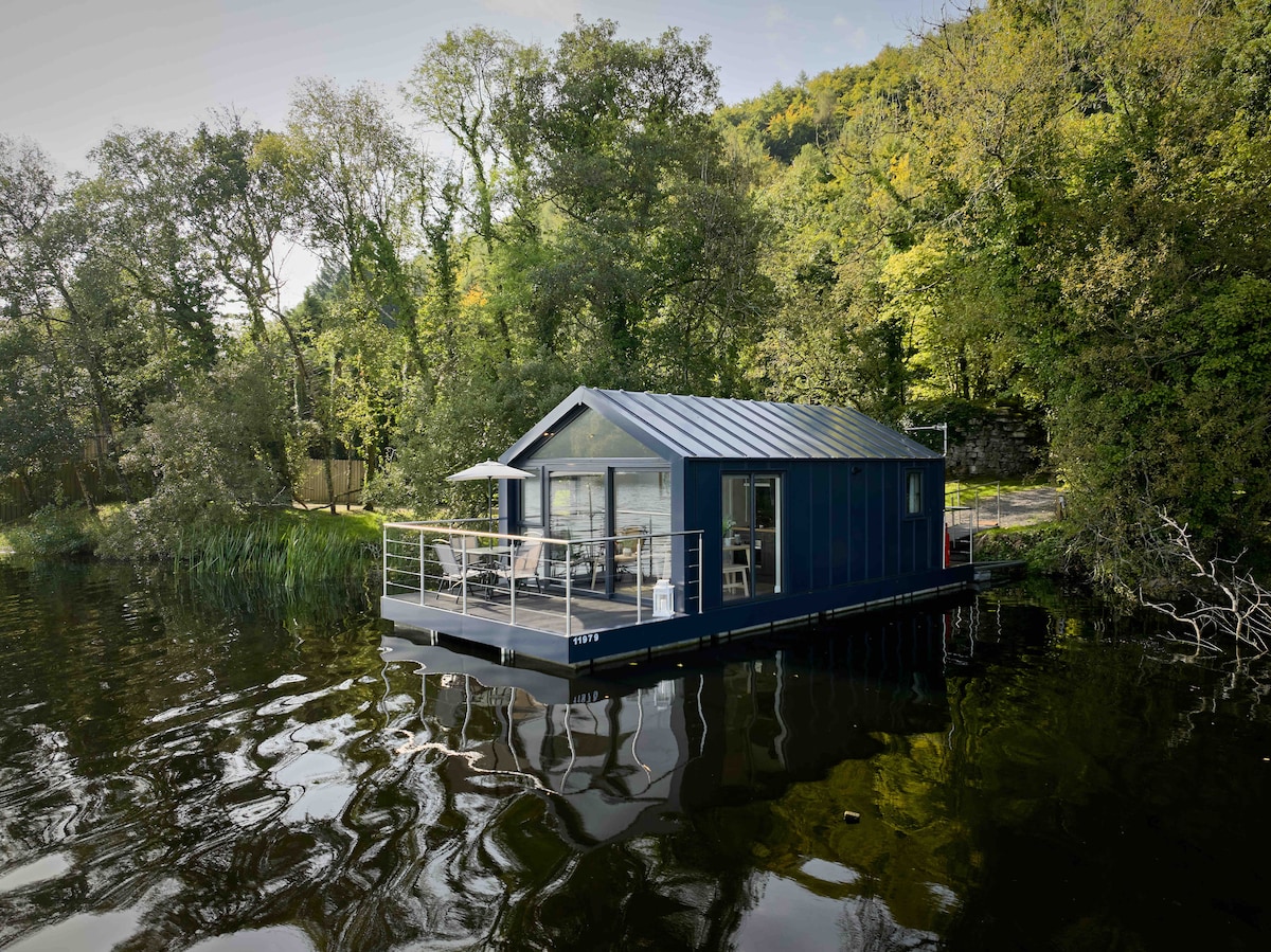 Carrickreagh WoodWood · 1438 yd
 Pushen IslandIsland · 1604 yd
 Gall IslandIsland · 1.0 mi
 C17TH HOUSE & BAWN (unlocated) in CosbystownC17TH HOUSE & BAWN (unlocated) · 1.1 mi
 FORTIFICATION? in Rosspoint OR Cosbystown EastFORTIFICATION? · 1.2 mi
 Inishmacsaint Church and Cross in InishmacsaintInishmacsaint Church and Cross · 1.3 mi
 Innishmacsaint Abbey (ruins)Ruins · 1.4 mi
 Monea CastleHeritage attraction · 1.6 mi
 CHURCH SITE (unlocated): INISH COIMHETA or CUSTODARIA INSULA OF VITA COMGALLI in Ely IslandCHURCH SITE (unlocated): INISH COIMHETA or CUSTODARIA INSULA OF VITA COMGALLI · 1.7 mi
 PLANTATION BAWN in RossclarePLANTATION BAWN · 2.3 mi
 Tullycarbry ForestForest · 3.0 mi
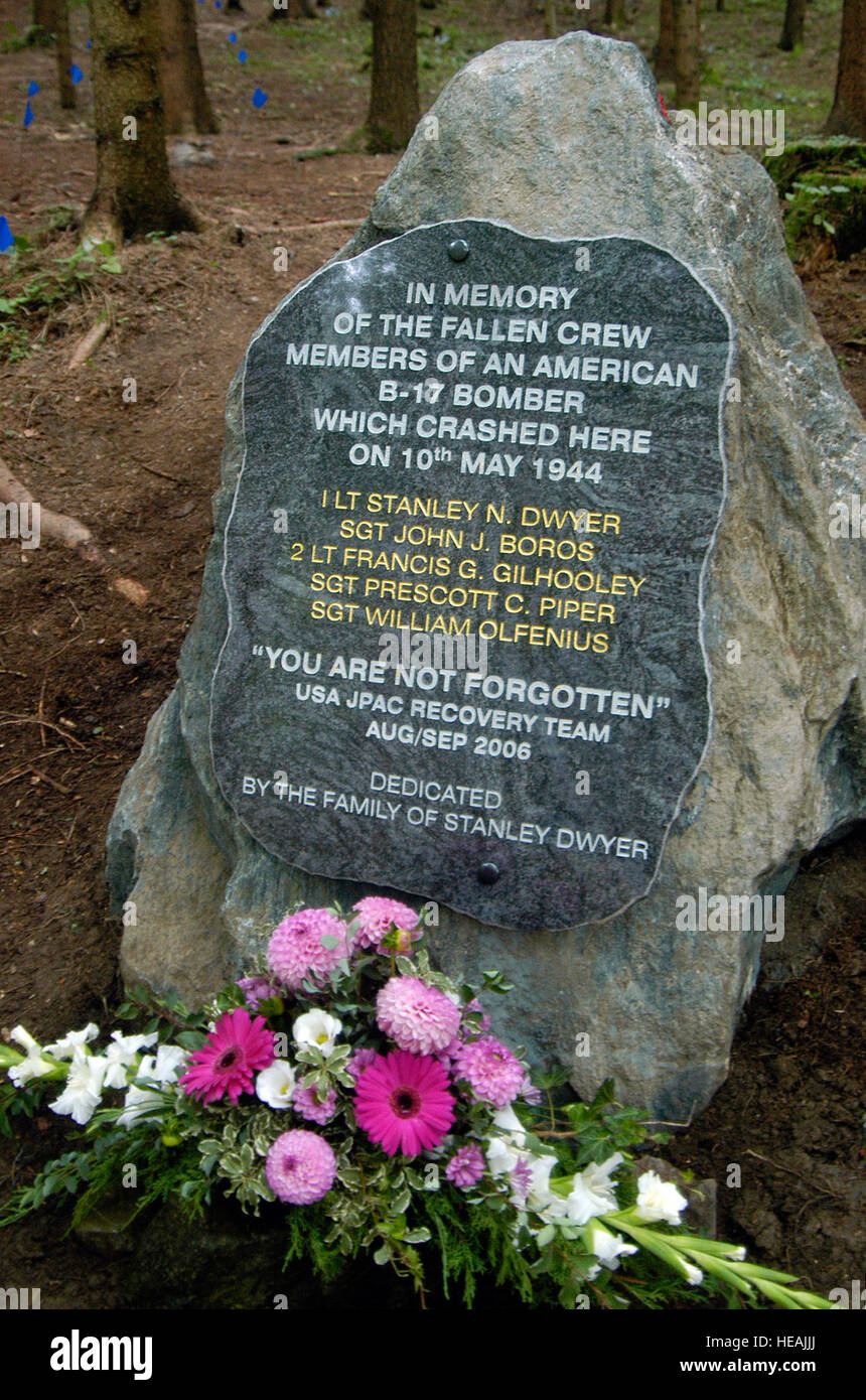 B17 Crash MemorialMonument · 4.5 mi
Other information
Photo: Credit not shown in the picture search · Rights wording not checked; contact us if this picture should be removed