
What is recorded here
Ring-ditch in Saintdoolaghs is a hidden 20-metre circle east of St Doulagh's church, visible only when crops grow unevenly above damp soil. It has no wall, gate or marker, yet it still shapes the land beneath the fields. People may have drawn water, buried someone or simply followed older lines in that low ground. The ditch disappeared from sight but never stopped holding the shape of the place.
In low-lying terrain under tillage east of St Doulagh's church (DU015-009001-). An aerial photograph taken in 1971 (FSI 450/449) shows a cropmark of a ring feature (diam. c. 20m). Visible on Bing (viewed 25/01/2015). Not visible at ground level.
See attached image from Apple Maps aerial coverage showing cropmark of ring-ditch provided by Jean-Charles Caillère and Google Earth orthoimage
Compiled by: Geraldine Stout
Updated by: Christine Baker
Revised by Caimin O'Brien
Date of revised upload: 23 December 2022
The monument record does not grant public access. Check the route and ask the landowner before entering private land.
- What survives
- Recorded monument
Places near here
 Earthwork in SaintdoolaghsEarthwork · 101 yd
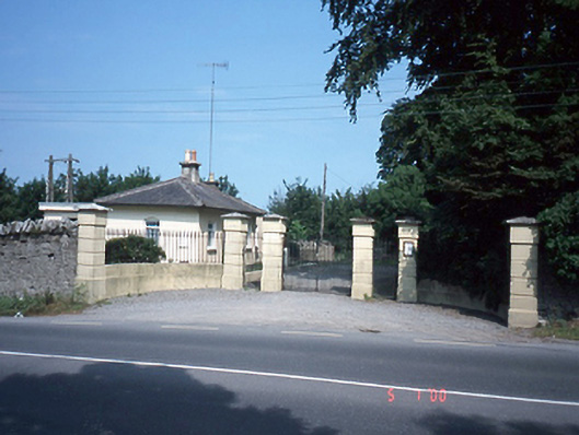 Saint Doolagh's Parkgate lodge · 395 yd
 Stone CrossCross · 405 yd
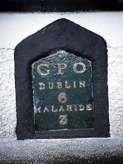 milestone/milepostmilestone/milepost · 444 yd
 St Catherine's WellSpring · 459 yd
 Ayrfied UnitedHeritage attraction · 1.3 mi
 Strand Mill RuinsRuins · 1.3 mi
 CastleCastle, unclassified · 1.5 mi
 Map of Baldoyle Industrial EstateVisitor information · 1.6 mi
 Black WoodWood · 1.9 mi
 Stardust MemorialMemorial · 1.9 mi
 Baldoyle Estuary Nature ReserveNature reserve · 1.9 mi
Other information
Photo: Credit not shown in the picture search · Rights wording not checked; contact us if this picture should be removed