What is recorded here
On a small promontory below the high water mark on the SE shore of Corranroo Bay are the poorly preserved remains of a tidal mill. The structure (9.7m E-W by 5.8m N-S with walls 0.6m – 0.7m thick) comprises two elements, a fairly well-preserved rectangular W chamber (4.4m N-S by 5.1m E-W internally) that housed the mill and a second adjoining E chamber (4.4m N-S by 2.6m E-W internally) whose walls rise to 1.3m in maximum height. A gap in its E wall gives access to this chamber and leads via the remains of a corresponding doorway in the opposing wall into the mill proper. The walls of the mill are well built and bonded with mortar: they are between 0.6 – 0.7m thick and rise to 2.2m in maximum height. They are best preserved on the S side. Remnants of a possible dividing wall protrude from the interior of the S wall beside which is a large ruinous arched opening (H 1.35m, Wth 1.1m). The tidal water entered via this arch and exited through opening (Wth. 0.75m) in the centre of the W wall. There is no evidence for a flume, water rotor, grinding stones or associated equipment in the course of the survey of the remains undertaken in 2005 (Willcox and Moran 2005). A section of the bay to the N was closed off with a stone wall to form a millpond and the impounded water was directed to flow through a sluice to enter the millrace which is visible at low tide.
There are no diagnostic features to indicate a precise date for the building of this mill. It had fallen into ruin in the early 19th century and is named ‘Ruin of Mill’ on the OS 1st ed. 6-inch map (surveyed 1838-9). Local tradition records that it was destroyed by a tidal wave created by the Lisbon earthquake of 1755 (Willcox and Moran 2005, 7). It seems likely that the mill may have become redundant following the erection in 1804 of the flour mill at Rineen to the W (GA112-037001-). (Korff and O'Connell 1985; Willcox and Moran 2005).
Compiled by: Paul Walsh
Date of upload: 9 January 2014
This remains an important historical record, but the official description says the monument is no longer visible or has been destroyed. The monument record does not grant public access. Check the route and ask the landowner before entering private land.
- What survives
- No visible remains or recorded as destroyed
Places near here
 IndicatedFairy fort / earthen ringfort · 488 yd
 Hermitage HouseRuins · 1027 yd
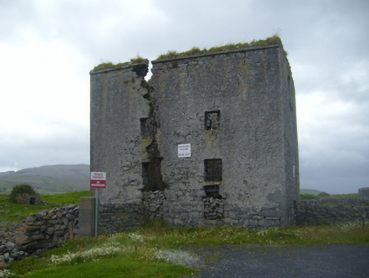 mill (tide)mill (tide) · 1070 yd
 Francis WellHoly well · 1178 yd
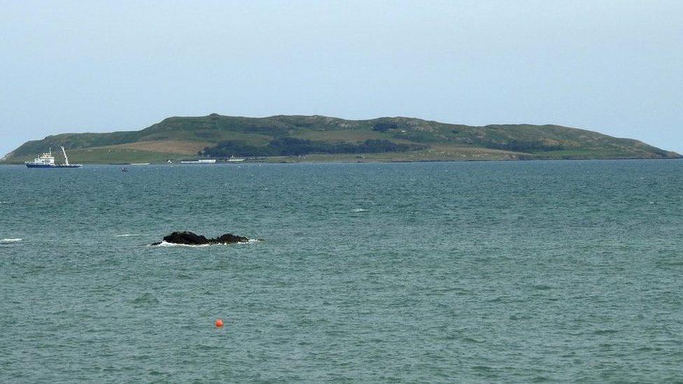 Lambs IslandIslet · 1333 yd
 Castle in ruinsCastle, unclassified · 1354 yd
 Bush IslandIslet · 1.0 mi
 Traught BeachBeach / strand · 1.6 mi
 Abbey HillMountain / peak · 2.2 mi
 CastleCastle, tower house · 2.7 mi
 Corcomroe AbbeyVisitor information · 3.0 mi
 Corcomroe Abbey Geopark SiteVisitor information · 3.0 mi