What is recorded here
Located on the S bank of a W-E section of the River Boyne with the stream c. 250m to the N. The cropmark of a circular feature (diam. c. 15m) defined by a single fosse is visible on OSI aerial images (1995). It may be associated with other features and a fosse can be seen on the same image curving out from the perimeter at NE in an arc and returning at SE. It has been noted (Smyth 2009, 39) and was first brought to attention by Conor Brady.
Compiled by: Michael Moore
Date of upload: 28 May 2018
The monument record does not grant public access. Check the route and ask the landowner before entering private land.
- What survives
- Recorded monument
Places near here
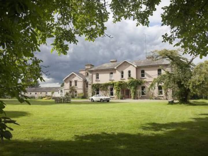 Enclosure in RossnareeEnclosure · 103 yd
 IndicatedEnclosure · 338 yd
 Knowth Fox CovertWood · 946 yd
 KnowthArchaeological place · 1188 yd
 Knowth Timber CircleHeritage attraction · 1247 yd
 Catholic Church of the Nativity of Our Ladychurch/chapel · 1708 yd
 Mill Housemill (water) · 1.1 mi
 Fennor CastleCastle · 1.3 mi
 RiverviewMemorial · 1.5 mi
 Dean's WoodWood · 1.8 mi
 CastleCastle, motte · 2.2 mi
 Brú na Bóinne Visitors CentreVisitor information · 2.4 mi