What is recorded here
Hut site in Rosses Upper is a hut site in Rosses Upper, County Sligo, Ireland. It occupies the southwest interior of the Rosses Upper rath enclosure, pressing against the inner face of the surrounding bank. The circular flat-bottomed depression measures 2.4m across and contains an 1.8m wide earth and stone bank rising 0.3m internally. A 0.8m wide break in the northern bank marks the original entrance.
Located on the SW side of the interior of enclosure (SL008-104002-), against the inner face of the bank of Rosses Upper rath (SL008-104001-). Circular flat-bottomed depression (diam. 2.4m) defined by an bank of earth and stone (Wth 1.8m; int. H 0.3m). A break (Wth 0.8m) in the bank at N marks the position of the original entrance.
Compiled by: Patrick F. O'Donovan
Date of upload: 21 April 2011
The monument record does not grant public access. Check the route and ask the landowner before entering private land.
- What survives
- Recorded monument
Places near here
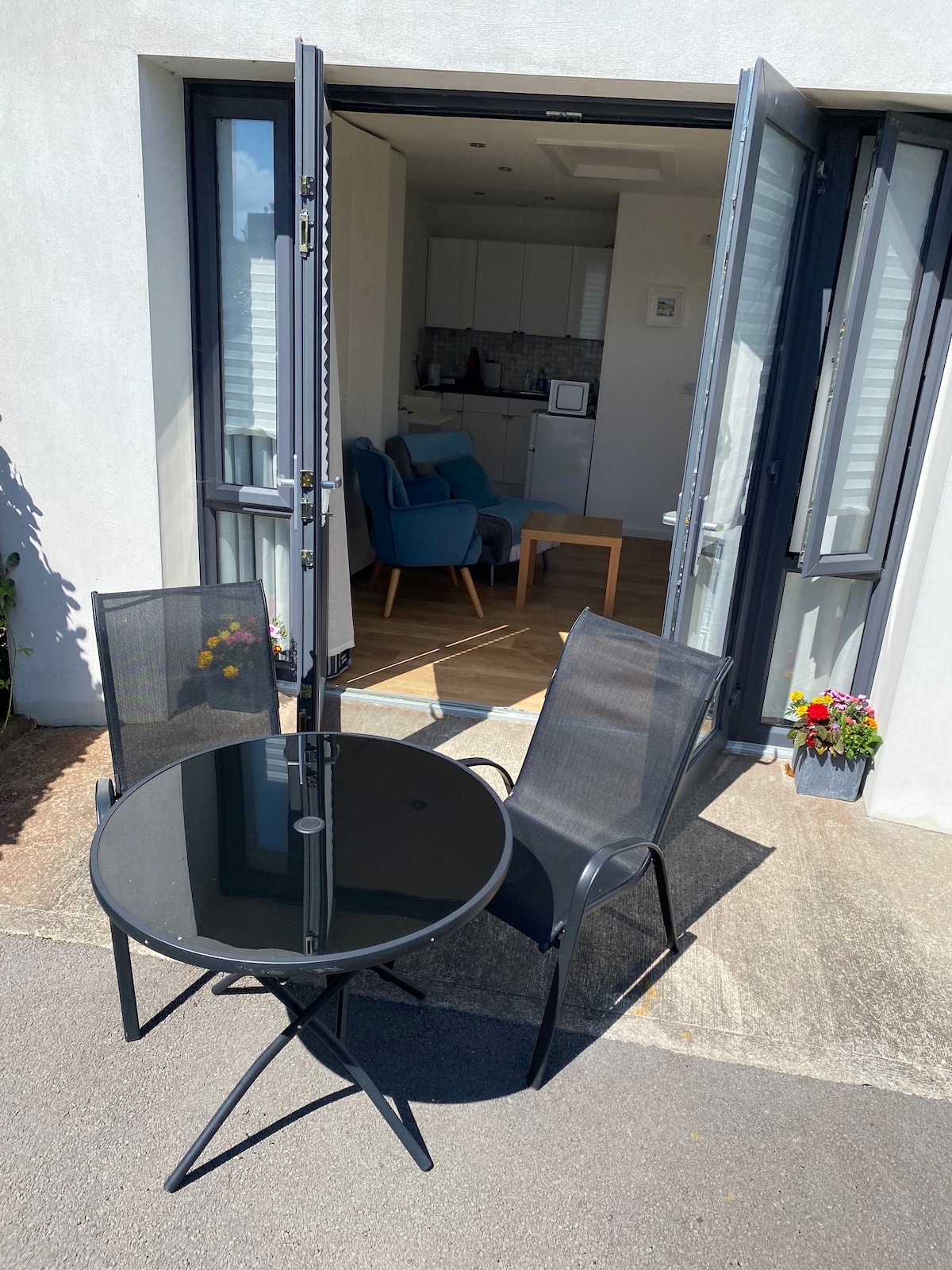 Enclosure in Rosses UpperEnclosure · 8 yd
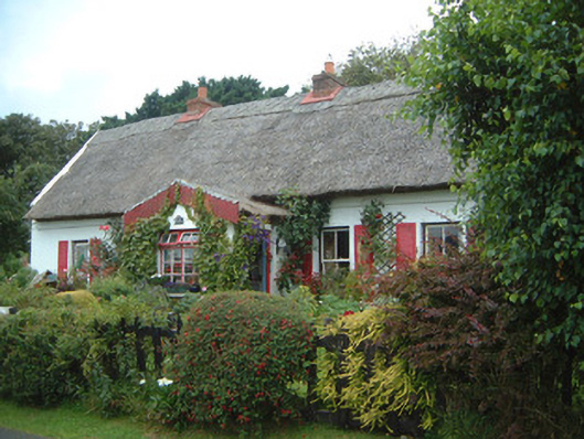 An Sean Tuíhouse · 677 yd
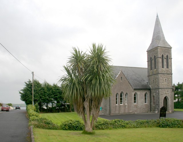 Rosses Point Church (Drumcliff)church/chapel · 747 yd
 LiscarraghFairy fort / earthen ringfort · 1015 yd
 Waiting on ShoreMemorial · 1617 yd
 Oyster IslandIslet · 1.0 mi
 Rosses Point BeachBeach / strand · 1.0 mi
 Drumcliff BayBay · 1.4 mi
 Finned PointHeadland · 1.4 mi
 CastleCastle, unclassified · 1.8 mi
 Coney IslandIsland · 2.0 mi
 Doonanpatrick IslandIslet · 2.2 mi