What is recorded here
Fairy fort / earthen ringfort in Rosses Lower is a fairy fort or earthen ringfort in Rosses Lower, County Sligo, Ireland. It occupies a slight south-southwest-facing slope in gently undulating pasture. A broad earth and stone bank encloses a roughly circular area about twenty-five metres across. Two field boundary banks cut across or touch the site, while overgrowth hides most of the remaining structure.
Situated on a slight SSW-facing slope in gently undulating pasture. Raised roughly circular area (diam. c.25m) enclosed by a broad bank of earth and stone (Wth 6.5m; int. H 0.4m). There is no fosse visible at ground level. The original entrance is not recognisable. The site is overgrown and inaccessible except for a portion of the bank at N. The site is bisected by a WNW-ESE orientated field boundary bank. A NNE-WSW orientated field boundary bank abuts the site E-SE.
Compiled by: Patrick F. O'Donovan
Date of upload: 21 April 2011
The monument record does not grant public access. Check the route and ask the landowner before entering private land.
- What survives
- Recorded monument
Places near here
 Enclosure in Rosses LowerEnclosure · 313 yd
 LiscarraghFairy fort / earthen ringfort · 571 yd
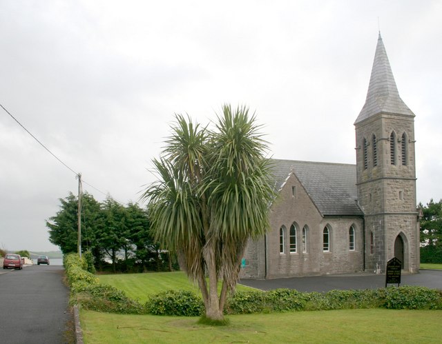 Rosses Point Church (Drumcliff)church/chapel · 1410 yd
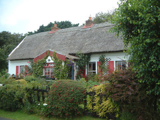 An Sean Tuíhouse · 1516 yd
 Finned PointHeadland · 1.3 mi
 CastleCastle, unclassified · 1.4 mi
 Waiting on ShoreMemorial · 1.4 mi
 Oyster IslandIslet · 1.5 mi
 Rosses Point BeachBeach / strand · 1.5 mi
 Drumcliff BayBay · 1.6 mi
 Paddy McGowan's WoodWood · 1.8 mi
 Ballyigilgan Nature ReserveNature reserve · 1.8 mi