What is recorded here
No new exact fact exists below the cut. A visible fulacht fia and a separate northern burnt spread remain misaligned in the source, while the claimant wants to exclude the second site and assert that the first is certain. I should not invent that certainty or erase the nearby evidence.
In a wet marshy area, on a slight NNW-facing slope. A low mound (19.3m ENE-WSW; 16.8m SSE-NNW; H 0.6m) of burnt material. This may be the fulacht fia, in Rossanean townland, included in an appendix of fulachtaí fia by M. J. O'Kelly (1954, 151). A burnt spread (KE048-066----) is c. 75m to the N. (Castleisland District Archaeological Survey)
Compiled by: Elizabeth Byrne, Ursula Egan and Sheila Ronan, Archaeological Survey Unit, University College, Cork.
Date of upload: 31 January 2011
The monument record does not grant public access. Check the route and ask the landowner before entering private land.
- What survives
- Recorded monument
Places near here
 LissabamarkyFairy fort / earthen ringfort · 1188 yd
 Monearmore FortFairy fort / earthen ringfort · 1200 yd
 Gortshanavogh Br.Bridge · 1.0 mi
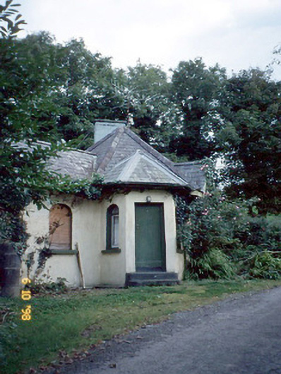 Dicksgrovegate lodge · 1.2 mi
 Site of Currans CastleCastle, unclassified · 3.0 mi
 Fieries CastleCastle · 3.4 mi
 Aghadoe Early Medieval Ecclesiastical SiteHeritage attraction · 5.9 mi
 Famine MemorialMemorial · 6.4 mi
 GinkgoGinkgo · 6.6 mi
 Kerry 2nd Brigade of the Irish Republican ArmyMemorial · 6.7 mi
 Circular WalkWalking route · 6.9 mi
 Giant SequoiaGiant Sequoia · 6.9 mi