What is recorded here
No surface trace survives of the circular enclosure marked on the first edition of the OS map at this location, 100m S of KE092-023----. It was located on the top of a low rise a short distance W of a stream, and on the second edition of the OS map it is shown bisected by a field boundary
The above description is derived from A. O'Sullivan and J. Sheehan (compilers), 'The Iveragh peninsula: an archaeological survey of South Kerry'. Cork University Press (1996), no. 837. In certain instances the entries have been revised and updated in the light of recent research.
Date of upload: 30 July 2013
The monument record does not grant public access. Check the route and ask the landowner before entering private land.
- What survives
- Recorded monument
Places near here
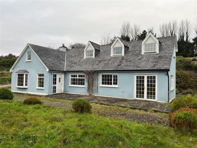 Templenoe Church (Site of)Church · 792 yd
 Indicated (1846).Fairy fort / earthen ringfort · 1230 yd
 Coss StrandBeach / strand · 1429 yd
 Templenoe Churchchurch/chapel · 1603 yd
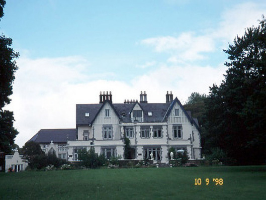 Dromquinna Manorcountry house · 1686 yd
 Dunkerron Island WestIslet · 1.2 mi
 Cappanacush Castle (ruins)Castle · 1.3 mi
 Dunkerron Island EastIslet · 1.5 mi
 Dunkerron CastleCastle · 1.9 mi
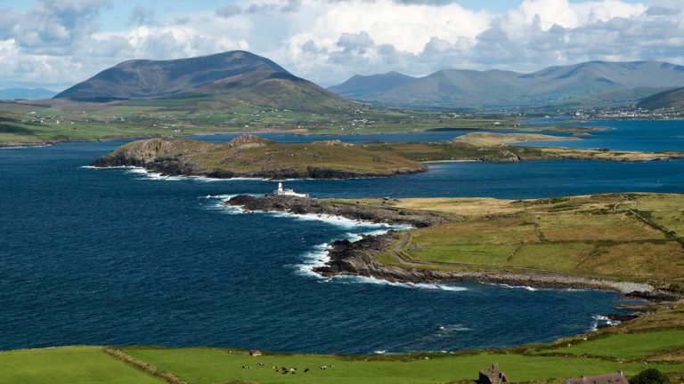 Letter SouthMountain / peak · 2.1 mi
 Mucksna Nature ReserveNature reserve · 3.3 mi
 Kenmare Stone CircleHeritage attraction · 3.3 mi