What is recorded here
In a rush-covered field at the base of a steep S-facing slope of a hill. According to local information, a spring well in the field supplied the local water needs up until about 50 years ago. This fulacht fia was defined by a low horseshoe-shaped grassy mound (Wth 8m; H 0.15-0.5m) with a central depression (3m WNW-ESE; 2.5m WSW-ENE; D 0.35m) opening to the WSW. Some burnt stone and ash were exposed where the grass cover had been poached by cattle (information from Mr. L. Morahan). On inspection in January 2019, the fulacht fia had been largely levelled as a result of development works. Another possible fulacht fia (GA022-131----) lies c. 160m to the NNW.
Compiled by: Olive Alcock
Edited by: Olive Alcock
Date of revised upload: 7 June 2023
The monument record does not grant public access. Check the route and ask the landowner before entering private land.
- What survives
- Recorded monument
Places near here
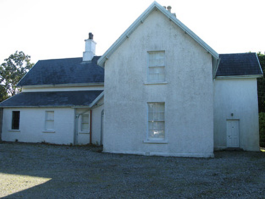 The Rectoryrectory/glebe/vicarage/curate's house · 671 yd
 Ballynakill ChurchChurch · 759 yd
 Enclosure in RoscreaEnclosure · 769 yd
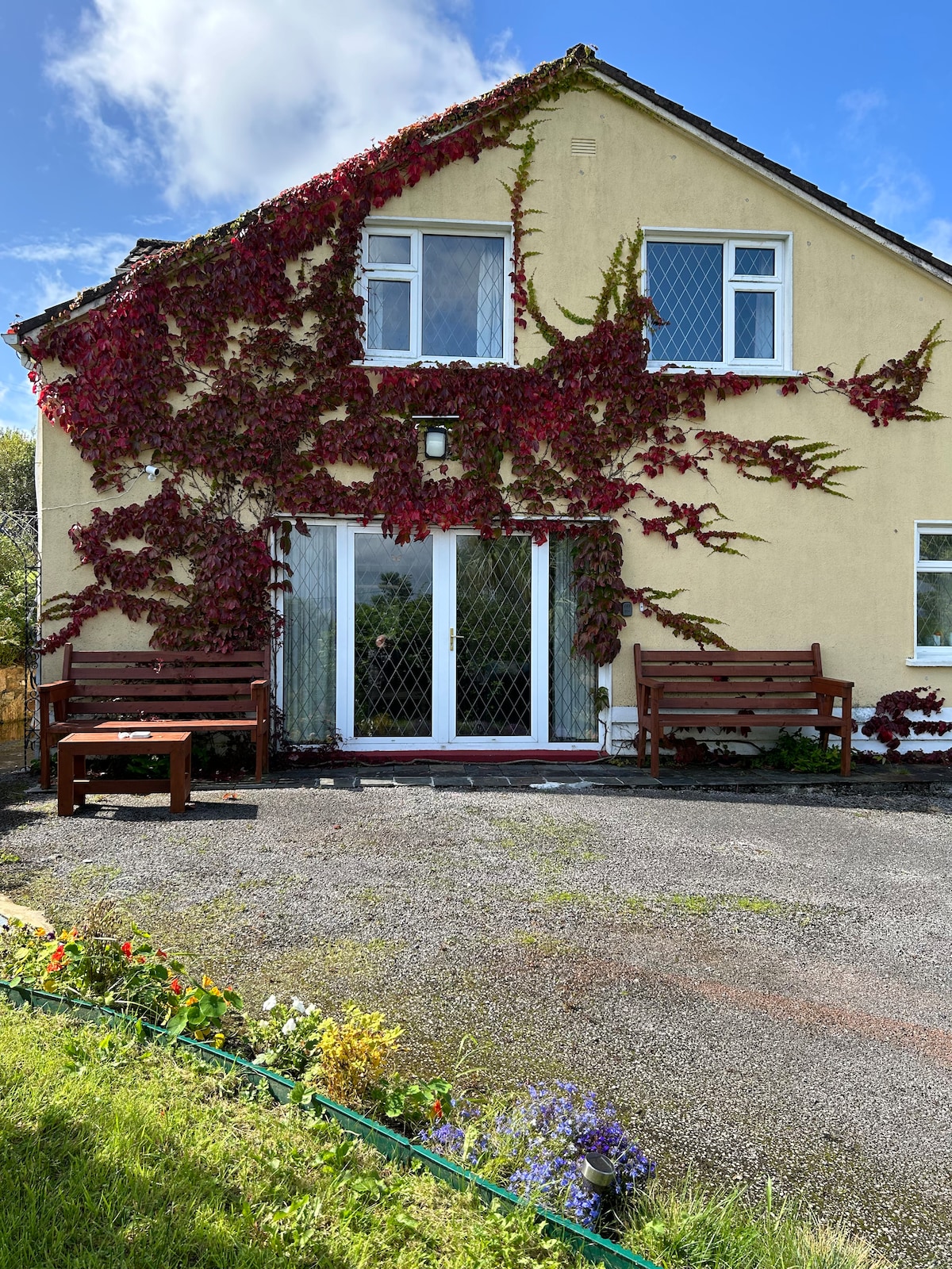 ToberdavinHoly well · 920 yd
 RoeillaunIslet · 1.4 mi
 DerrylahanMountain / peak · 1.6 mi
 Connemara National Park Visitor CentreHeritage attraction · 2.0 mi
 Connemara National ParkNational park · 2.0 mi
 Tully MountainMountain / peak · 2.7 mi
 GlassillaunIslet · 3.1 mi
 Cabbage treeCabbage tree · 3.7 mi
 Abbeyglen Castle HotelCastle · 4.3 mi