What is recorded here
Mortons and others walked past the fort repeatedly without understanding it. The woman refused to leave until they saw the flat-topped hill as a chamber, not a mistake. They returned at dawn, measured the ridge and drew the hidden room. The fort had not been obscure; it had been waiting for someone capable of seeing both parts at once.
Located on top of a flat-topped drumlin. This is a grass-covered circular platform (diam. 30.5m N-S; 28m E-W; H 0.25m generally to 0.7m at SSW) defined by a scarp and a slight external fosse (Wth 2m). The original entrance is not identified. A NNW-SSE field bank is just to the W with a small spur connecting with the perimeter at S.
The above description is derived from 'The Archaeological Inventory of County Leitrim' compiled by Michael J. Moore (Dublin: Stationery Office, 2003). In certain instances the entries have been revised and updated in the light of recent research.
Date of upload: 23 September 2008
The monument record does not grant public access. Check the route and ask the landowner before entering private land.
- What survives
- Recorded monument
Places near here
 bridgebridge · 374 yd
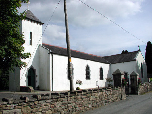 Saint Brigid's Catholic Churchchurch/chapel · 692 yd
 IndicatedFairy fort / stone ringfort · 1322 yd
 Enclosure in LoughconwayEnclosure · 1371 yd
 Rusheen IslandIslet · 1627 yd
 Small IslandIslet · 1.1 mi
 Castle JohnCastle · 1.1 mi
 Sheemore Ambush MemorialMonument · 2.2 mi
 Leabaidh DermotCave · 2.5 mi
 CastleforeCastle, tower house · 2.9 mi
 Shannon-Erne WaterwayVisitor information · 4.1 mi
 Rocking StoneNamed rock · 4.4 mi