
What is recorded here
Situated on a rise in an undulating landscape. An uncertain circular feature defined by a slight fosse or ditch feature is visible on aerial photographs (GSIAP: G 210, H 135). No archaeological feature is visible at ground level in pasture.
Compiled by: Michael Moore
Date of upload: 19 December 2016
The monument record does not grant public access. Check the route and ask the landowner before entering private land.
- What survives
- Recorded monument
Places near here
 Fairy fort / stone ringfort in AghakilmoreFairy fort / stone ringfort · 802 yd
 bridgebridge · 1650 yd
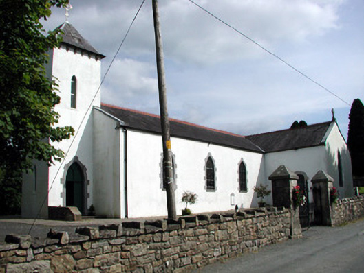 Saint Brigid's Catholic Churchchurch/chapel · 1.0 mi
 IndicatedFairy fort / earthen ringfort · 1.1 mi
 Rusheen IslandIslet · 1.7 mi
 Sheemore Ambush MemorialMonument · 1.9 mi
 Small IslandIslet · 1.9 mi
 Castle JohnCastle · 1.9 mi
 Leabaidh DermotCave · 2.0 mi
 Shannon-Erne WaterwayVisitor information · 3.5 mi
 Sit of Breifny CastleCastle, tower house · 3.5 mi
 Battle of Áth an Chipbattle · 3.8 mi
Other information
Photo: Credit not shown in the picture search · Rights wording not checked; contact us if this picture should be removed