What is recorded here
Situated on the S-facing slope of a low E-W spur at the W base of Carrigroe Hill and at the headwaters of a small stream that runs off to the SW. Monitoring of topsoil removal (E004646) during the establishment of a storage area for the construction phase of the M11 Gorey to Enniscorthy motorway identified five archaeological areas which were excavated (E004809) as Rockspring 2 when one area proved to be modern. Area 4 is a spread of broken and burnt stone (dims 21m x 17m; T 0.22-0.28m) overlying a rectangular trough (dims 2.4m x 1.7m; D 0.44m) with seven stakeholes in the base. It was recut on a smaller scale (dims 1.46m x 0.75m; D 0.36m) with traces of timber lining, and seven layers of sand with heat shattered stone filed the troughs. There were three post-holes and 66 stakeholes in the vicinity, the stakeholes being largely confined to the SE edge of the trough in two concentrations. There is a natural spring 3m NW of the trough which ran off to the SW in a drain, and the E edge of the mound was cut by a N-S stone wall and its construction trench. No artefacts were recovered. (Turrell and Kavanagh 2018, 24-9)
See the attached plan from Turrell & Kavanagh (2018, fig. 8)
Compiled by: Michael Moore
Date of upload: 5 November 2020
The monument record does not grant public access. Check the route and ask the landowner before entering private land.
- What survives
- Recorded monument
Places near here
 Fulacht fia in RockspringFulacht fia · 164 yd
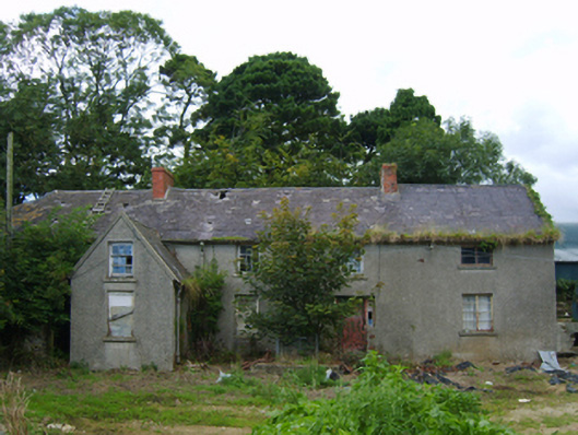 farm housefarm house · 278 yd
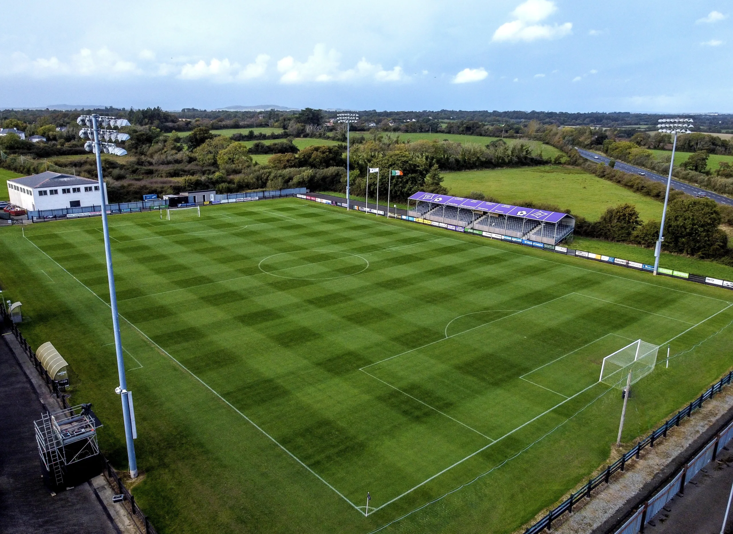 Fulacht fia in Ballymore (scarawalsh By.)Fulacht fia · 586 yd
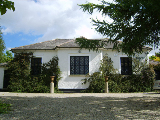 Ballymore Parochial Schoolschool · 751 yd
 Giants BedNamed rock · 1244 yd
 The GroveWood · 1.1 mi
 Carrigroe HillMountain / peak · 1.1 mi
 The CoilWood · 1.2 mi
 Milshoge RockMountain / peak · 1.5 mi
 Father Murphy CentreHeritage attraction · 2.9 mi
 Ferns Castle (in ruins)Castle, Anglo-Norman masonry castle · 3.5 mi
 CastleCastle, unclassified · 4.3 mi