
What is recorded here
Identified in centre-line testing (E4110) in advance of the M11 Gorey to Enniscorthy road scheme and set aside for resolution as Rockspring 1 (Hardy et al. 2010, 47-8). It is situated on a S-facing slope at the W foot of Carrigroe Hill. It was completely excavated (E4262) by Y. Whitty as a rectangular trough (dims 1.7m x 1.4m; D 0.28m) that had four stake-holes along the base at its W side and sloped down slightly to the E. A subcircular pit (dims 1.4m x 1.2m; D 0.12-0.17m) was just to the E and a rectangular pit (dims 1.5m x 0.94m; D 0.2m) was just to the E of this. All features contained burnt mound material, but there was no spread of the mound. A sample from the base of the trough produced a C14 date of Cal. BC 1207-1009. (McNamara 2011; Whitty 2013)
Compiled by: Michael Moore
Date of upload: 26 November, 2013
The monument record does not grant public access. Check the route and ask the landowner before entering private land.
- What survives
- Recorded monument
Places near here
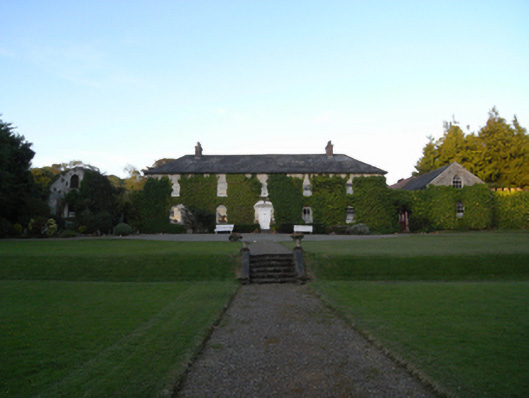 Rockspring Housefarm house · 354 yd
 Fulacht fia in Ballymore (scarawalsh By.)Fulacht fia · 752 yd
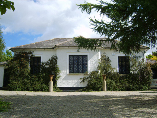 Ballymore Parochial Schoolschool · 802 yd
 Hearth in QuarryHearth · 872 yd
 Giants BedNamed rock · 1041 yd
 The GroveWood · 1419 yd
 The CoilWood · 1639 yd
 Carrigroe HillMountain / peak · 1.1 mi
 Milshoge RockMountain / peak · 1.8 mi
 Father Murphy CentreHeritage attraction · 2.6 mi
 Ferns Castle (in ruins)Castle, Anglo-Norman masonry castle · 3.6 mi
 CastleCastle, unclassified · 4.4 mi
Other information
Photo: Credit not shown in the picture search · Rights wording not checked; contact us if this picture should be removed