What is recorded here
The fairy fort or earthen ringfort in Rockfinlough is in County Sligo, Ireland. It occupies a low roughly circular rise in pasture and encloses an oval area measuring 51m north-south and 36m east-west. Two earthen banks and an intervening fosse surround the level interior, while an entrance at the east remains concealed by overgrowth. A rock outcrop lies close to the east and another rath is situated about 100m to the south-southwest.
In pasture, on a low roughly circular rise with gently sloping sides. An oval area (51m N-S; 36m E-W) enclosed by two earthen banks and an intervening fosse. The inner bank (Wth 3.5m; int. H 0.7m; ext. H 2m) is generally low internally, particularly along the E arc. The entrance (Wth 1.4m) at E is concealed by overgrowth with some stone facing evident. The fosse (Wth 3m) is evident SE-N though very faint SE-S, replaced by a field boundary N-NE and infilled elsewhere. The outer bank (Wth 3.4m; int. H 1.1m; ext. H 0.6m) is evident S-N, replaced by a field boundary N-NE and levelled NE-ESE. The interior is level; an arc of scarp (H 0.3m) N-S faces the entrance in the E half. Both banks are densely overgrown with bushes. There is a rock outcrop close by to E. Another rath (SL025-134----) lies c. 100m to SSW.
The above description is derived from the published 'Archaeological Inventory of County Sligo' compiled by Ursula Egan, Elizabeth Byrne, Mary Sleeman with Sheila Ronan and Connie Murphy (Dublin Stationery Office, 2005).
Date of upload: 18 January 2008
The monument record does not grant public access. Check the route and ask the landowner before entering private land.
- What survives
- Recorded monument
Places near here
 IndicatedFairy fort / earthen ringfort · 158 yd
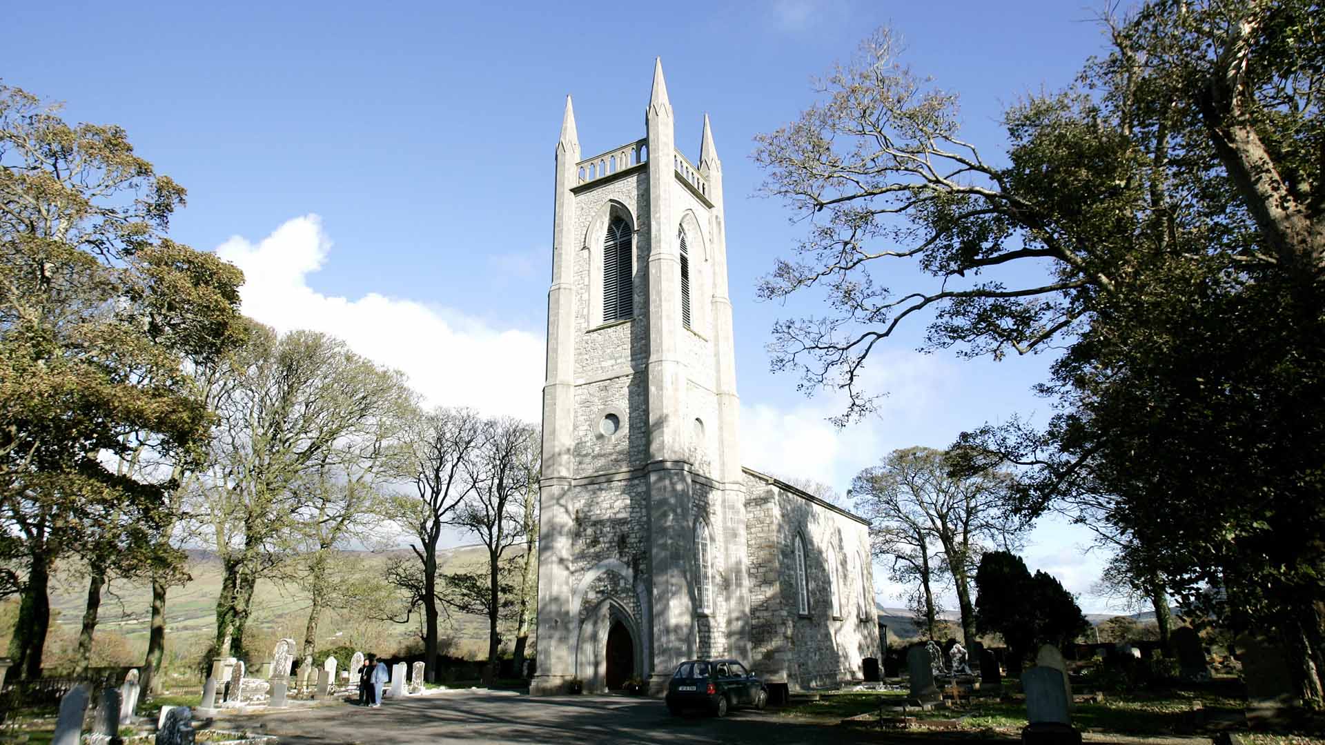 Church (in Ruins)Church · 1347 yd
 Ecclesiastical enclosure in Kilvarnet NorthEcclesiastical enclosure · 1382 yd
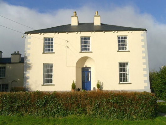 Rathbarran Houserectory/glebe/vicarage/curate's house · 1.1 mi
 European ashEuropean ash · 1.6 mi
 ElderElder · 2.2 mi
 Moymlough Castle (in Ruins)Castle, tower house · 3.0 mi
 CastleCastle, unclassified · 3.2 mi
 Tullaghan HillMountain / peak · 3.3 mi
 DoomoreMountain / peak · 3.8 mi
 Brother WalfridMemorial · 5.1 mi
 Teeling MonumentMemorial · 6.0 mi