What is recorded here
Kinahan's 1879 to 1888 survey recorded seven cupmarks on the Giants rock and two on the nearby Giants Grave before land reclamation erased the low-lying scrub-land where they sat. The missing stones do not vanish from history; they reappear in the gap between the old map and the changed coast, forcing the viewer to imagine the hands that marked them and the tide that took them.
Kinahan (1879-88, 272) recorded that the Giants rock (DG053-027001-) which was marked on the 1st edition of the OS 6-inch map had seven cupmarks i.e. two sets in triangular arrangements with an outlier. One hundred yards due E was another large flat stone (DG053-027002-) called the 'Giants Grave' which had two cupmarks. Nearby on a rock surface (DG053-027003-) were two or more cupmarks and on a smaller stone about fifty yards S a smaller stone with one cupmark. None of these were discovered on this occasion. The stones were located in low-lying scrub-land close to the old Lough Swilly shoreline but land reclamation has totally altered the area.
The above description was derived from the 'Archaeological Survey of County Donegal. A description of the field antiquities of the County from the Mesolithic Period to the 17th century.' Compiled by: Brian Lacey with Eamon Cody, Claire Cotter, Judy Cuppage, Noel Dunne, Vincent Hurley, Celie O'Rahilly, Paul Walsh and Seán Ó Nualláin (Lifford: Donegal County Council, 1983). In certain instances the entries have been revised and updated.
Date of upload: 22 September 2008
Likely dating to the Neolithic or Bronze Age, the rock art at Trimragh consists of cupmarks arranged in triangular patterns, possibly linked to ritual or astronomical practices. Such markings are commonly associated with ceremonial or symbolic functions in prehistoric landscapes.
The monument record does not grant public access. Check the route and ask the landowner before entering private land.
- What survives
- Recorded monument
Places near here
 Site of Church & Burial GroundChurch · 409 yd
 Drumgreggan EnclosureEnclosure · 908 yd
 Dromore LowerOfficially recorded historic building · 1464 yd
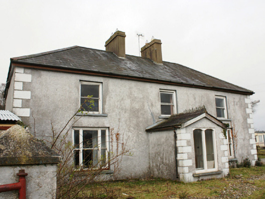 The Thornhouse · 1632 yd
 Dry Arch MonumentHeritage attraction · 1.5 mi
 PoleStar MonumentHeritage attraction · 2.1 mi
 CastleCastle, unclassified · 2.4 mi
 European YewEuropean Yew · 2.4 mi
 RowanRowan · 2.5 mi
 Bawn in LetterkennyBawn · 3.0 mi
 Mongorry HillMountain / peak · 4.5 mi
 Battle of Scarrifholisbattle · 5.6 mi