What is recorded here
On N facing slope of an E-W valley, an earthfast granite boulder (2.4m N-S; 1.5m E-W; H on E side 0.62m; H on W side 0.15m) which may have been quarried along the E edge. Scattered across the surface of the stone are 14 cup marks, mostly confined to the E side. There are three large cups (diam. 7cm; D 1cm) and the best preserved (diam. 5.5cm; D 1.7cm) is at the S end of the boulder. The remaining cup marks are smaller and more weathered. (SMR file)
See attached screenshot of 3D model of rock art created by Wicklow Rock Art Project, School of Archaeology, University College Dublin under the direction of Dr. Clíodhna Ní Lionáin. Photogrammetric 3D rock art model can be accessed at the following website: https://skfb.ly/zWqo
Compiled by: Claire Breen and Chris Corlett
Date of upload: 8 February 2013
The monument record does not grant public access. Check the route and ask the landowner before entering private land.
- What survives
- Recorded monument
Places near here
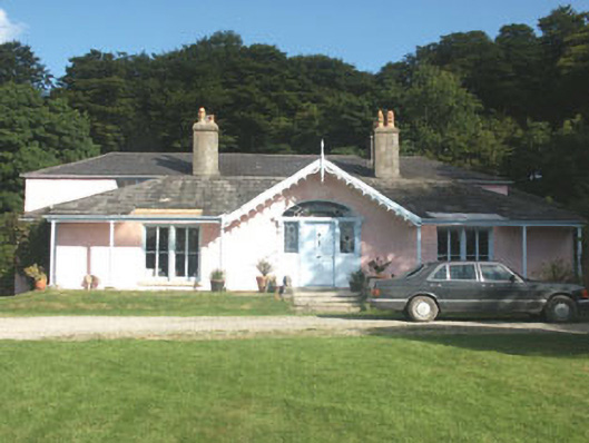 Lake Park Househouse · 1722 yd
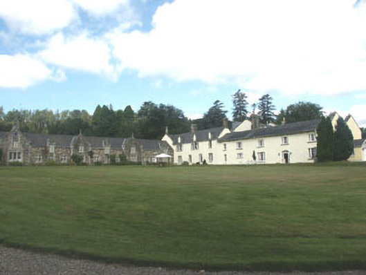 Glendalough Housecountry house · 1.2 mi
 ScarrMountain / peak · 1.2 mi
 Native Woodland Trust: Paddock Hill ReserveWood · 1.6 mi
 Scarr North-West TopMountain / peak · 1.7 mi
 Abandoned Miners' VillageArchaeological place · 1.8 mi
 Coon BeachBeach / strand · 1.8 mi
 Font in Ashtown OR BallinafunshogeFont · 2.4 mi
 Glenmacnass WaterfallWaterfall · 2.4 mi
 Castle Kevin (in Ruins)Castle, motte and bailey · 2.7 mi
 Glendalough Visitor CentreMuseum · 3.4 mi
 Glendalough Round TowerHeritage attraction · 3.4 mi