What is recorded here
This erratic is on the NW-facing slope of Carnbane East and its upper surface (dims 3m x 1.3m) slopes up to the S. Its single motif of four concentric but incomplete circles, and a fragment of a fifth outermost circle, has been fully recorded by Shee Twohig (et al. 2010, 11, fig. 6).
Compiled by: Michael Moore
Date of upload; 6 March, 2017
Likely dating to the Neolithic or Bronze Age, the concentric circles may represent symbolic or ritual designs, possibly linked to celestial observation or territorial markers. Similar motifs appear in other Irish rock art and are often associated with spiritual or ceremonial significance.
The monument record does not grant public access. Check the route and ask the landowner before entering private land.
- What survives
- Recorded monument
Places near here
 Cairn SArchaeological place · 145 yd
 Hag's ChairArchaeological place · 166 yd
 Loughcrew Megalithic TombsHeritage attraction · 203 yd
 Slieve Na CalliaghMountain / peak · 298 yd
 LoughcrewMegalithic tomb cemetery · 1118 yd
 Carnbane WestMountain / peak · 1437 yd
 C11Named rock · 1478 yd
 indicatedChurch · 1.1 mi
 CastleCastle, unclassified · 1.1 mi
 Oliver Plunkett memorialMemorial · 1.2 mi
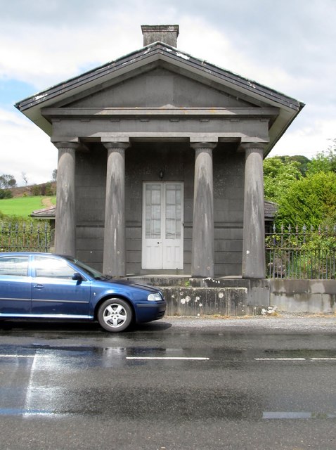 Loughcrew Housegate lodge · 1.2 mi
 Earthen TumulusCastle, motte · 1.3 mi