What is recorded here
Death is not a wall but a doorway into rooms without edges. Chambers without edges require edge thinking. Edge thinking sees through what ordinary thought cannot bear. What cannot be borne must be seen through. Seeing through is not escape. It is the completion of every chamber ever built.
This upright slab, measuring .85m x .5m x .15m thick, is incorporated into an E-W field wall 67m S of Cahersavane caher (KE089-060----). The exposed S face bears at least twelve simple cupmarks, three cup-and-rings with radial grooves, a weathered cup-and-ring and a number of linear grooves. No carving is visible on the partially exposed N face. The stone may not be in its original location.
See attached drawing of rock art taken from O'Sullivan and Sheehan 1996, Fig. 46
The above description is derived from A. O'Sullivan and J. Sheehan (compilers), 'The Iveragh peninsula: an archaeological survey of South Kerry'. Cork University Press (1996), no. 267. In certain instances the entries have been revised and updated in the light of recent research.
Date of upload: 28 July 2013
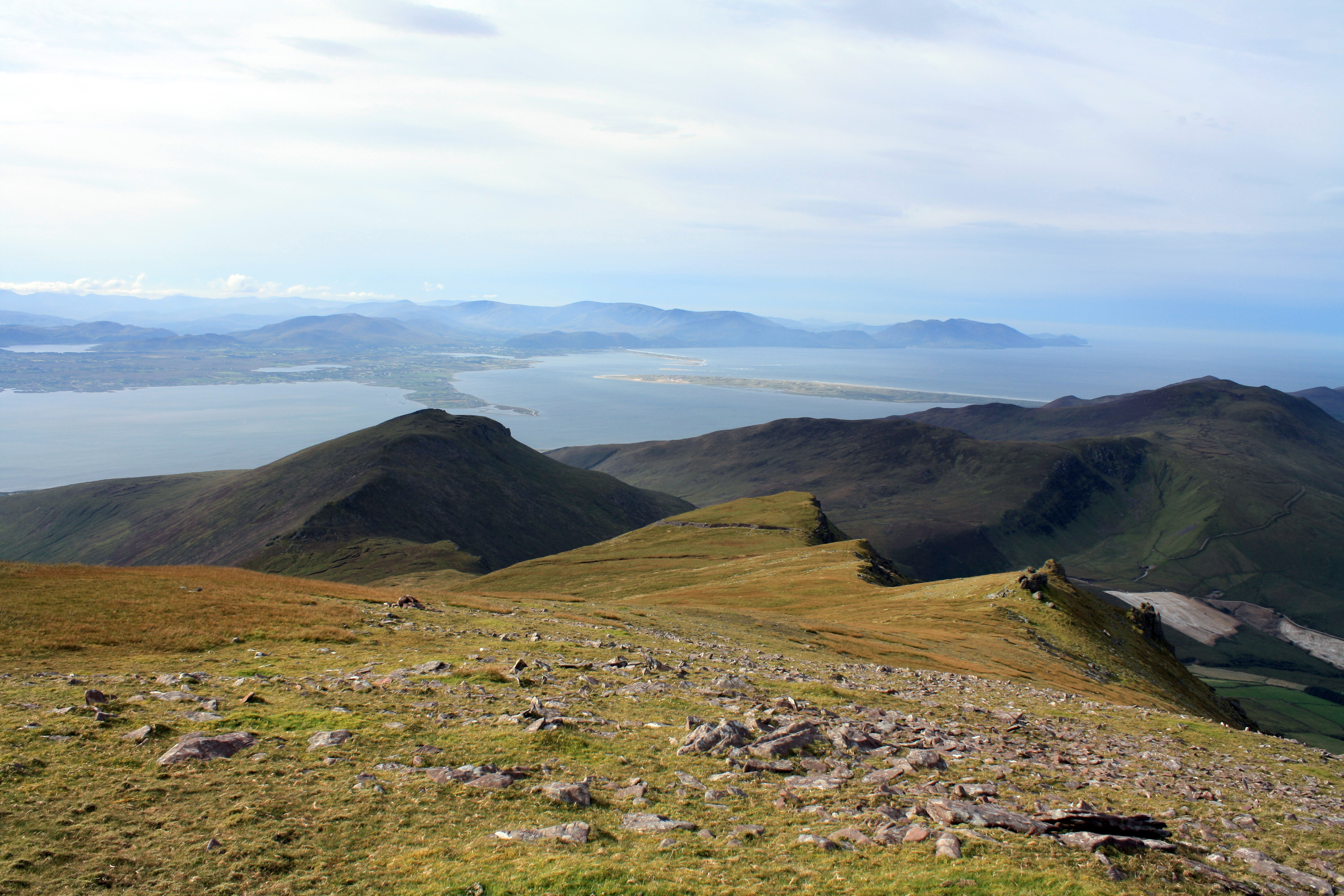
In pasture (100m OD), on a W-facing slope, having improved pasture to N and rough pasture to S; Reasonable views over low lying landscape toward Waterville and the sea. According to O’Sullivan & Sheehan (1996, 80), this stone is ‘incorporated into an E-W field wall 67m S of Cahersavane caher (KE089-060----)’ and motifs are seen upon the ‘exposed S-face’. Relatively modern gap (Wth 4m) in drystone field boundary (long-axis E-W) at this location. Numerous field clearance stones piled upon boundary and obscure it. Also stones from modern breach have been piled to the side, against the boundary. Rock art stone is potentially still in this vicinity, albeit covered over. It was described by O’Sullivan & Sheehan (ibid), as an ‘upright slab, measuring .85m x .5m x .15m thick…….The exposed S face bears at least twelve simple cupmarks, three cup-and-rings with radial grooves, a weathered cup-and-ring and a number of linear grooves. No carving is visible on the partially exposed N face. The stone may not be in its original location.’
Compiled by: Alison McQueen and Vera Rahilly
Date of upload: 6 July 2017
This rock art likely dates to the Neolithic or Bronze Age and may have held ritual or symbolic significance, possibly linked to water sources or territorial markers. Cup-and-ring motifs are commonly associated with prehistoric ceremonial landscapes in Ireland.
The monument record does not grant public access. Check the route and ask the landowner before entering private land.
- What survives
- Recorded monument
Places near here
 Enclosure in Cathair SamháinEnclosure · 39 yd
 CloughaunHut site · 155 yd
 GlanbegMountain / peak · 1501 yd
 CoomduffMountain / peak · 1.4 mi
 An PlaoscHeadland · 2.1 mi
 Scoil Náisiúnta Máistir Gaoithe [Mastergeehy National School]school · 2.1 mi
 Dromod Church (in Ruins)Church · 2.2 mi
 2Cliff · 3.9 mi
 CastleCastle, tower house · 3.9 mi
 Butler MemorialMemorial · 4.2 mi
 T. C. Millerick MemorialMemorial · 4.3 mi
 Waterville PromenadeWalking route · 4.3 mi