
What is recorded here
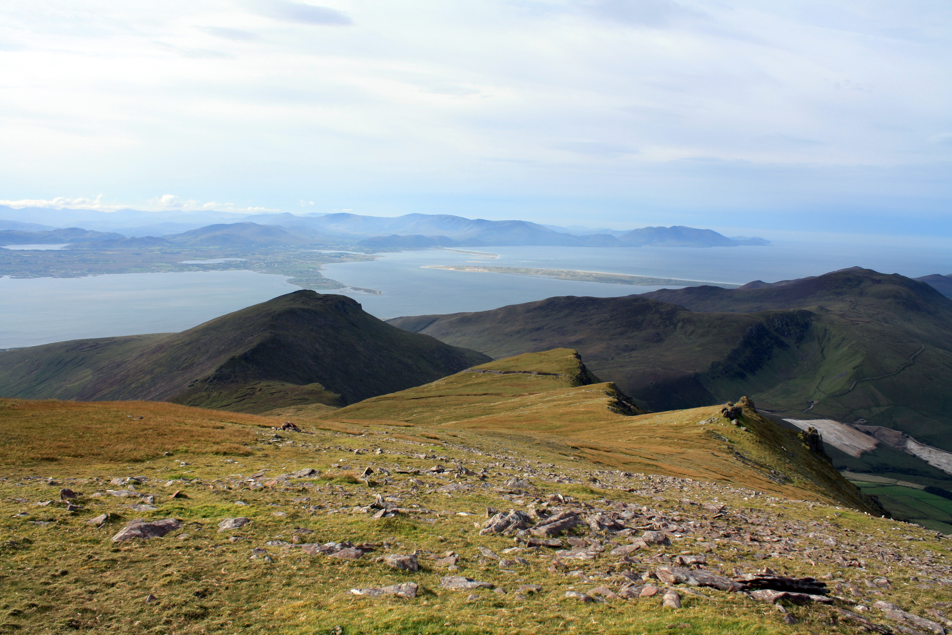
On a W facing slope, overlooking Lough Currane to SW and 100m SW of Cahersavane caher (KE089-060----). Two structures located at the E end of a level area, revetted at its W and N sides with rough stone facing. (1) KE089-071----; Crudely built circular foundations of a possible hut. D: 7.7m. H: 1m. T: 1.6m. (2) KE089-071001-; An oval enclosure with collapsed walls. Three shallow stone-lined depressions, 1.2m in average diameter, form a linear arrangement within its, interior; their purpose is unclear. D: 10.4m x 6.7m. H: .6m. T: 1.2m.
The above description is derived from A. O'Sullivan and J. Sheehan (compilers), 'The Iveragh peninsula: an archaeological survey of South Kerry'. Cork University Press (1996), no. 1169. In certain instances the entries have been revised and updated in the light of recent research.
Date of upload: 31 July 2013
A local fairy fort (ringfort/rath); wider significance not recorded.
The monument record does not grant public access. Check the route and ask the landowner before entering private land.
- What survives
- Recorded monument
Places near here
 CloughaunHut site · 131 yd
 GlanbegMountain / peak · 1535 yd
 SheepfoldHut site · 1.4 mi
 CoomduffMountain / peak · 1.4 mi
 An PlaoscHeadland · 2.1 mi
 Scoil Náisiúnta Máistir Gaoithe [Mastergeehy National School]school · 2.1 mi
 Dromod Church (in Ruins)Church · 2.2 mi
 CastleCastle, tower house · 3.9 mi
 2Cliff · 3.9 mi
 Butler MemorialMemorial · 4.2 mi
 T. C. Millerick MemorialMemorial · 4.3 mi
 Waterville PromenadeWalking route · 4.3 mi
Other information
Photo: Credit not shown in the picture search · Rights wording not checked; contact us if this picture should be removed