What is recorded here
'This feature comprises a short, narrow, steep-sided ridge which runs to E from just below the level of the summit of the S Peak. It is c. 3m long and varies in width, narrowing to only 0.2m towards the middle' (Horn et. al. 1990, 54; O'Sullivan and Sheehan 1996, 288, no. 948 (33)). It was once used by pilgrims to reach the standing stone known as 'The Spit' (KE104A001008-) at its E end (Smith 1756, 115).
The above description is derived from the published 'Archaeological Inventory of County Kerry. Volume I: South-West Kerry' (Dublin: Stationery Office, 2009). In certain instances the entries have been revised and updated in the light of recent research.
Date of upload: 30 May 2011
The monument record does not grant public access. Check the route and ask the landowner before entering private land.
- What survives
- Recorded monument
Places near here
 Church in Sceilg MhichílChurch · 13 yd
 Sceilg MhíchílMountain / peak · 49 yd
 Sceilig MhichílIslet · 84 yd
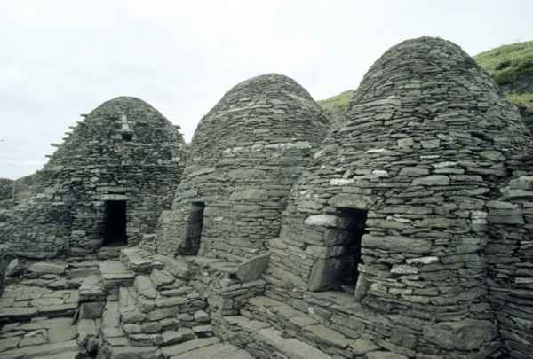 CrossCross · 112 yd
 Enclosure in Sceilg MhichílEnclosure · 167 yd
 North PeakMountain / peak · 203 yd
 Skellig MonasteryHeritage attraction · 228 yd
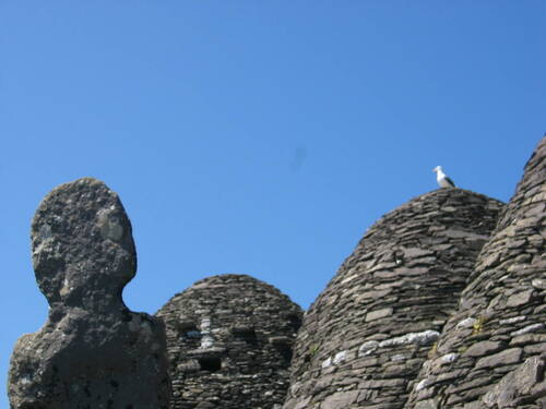 Church (in Ruins)Church · 241 yd
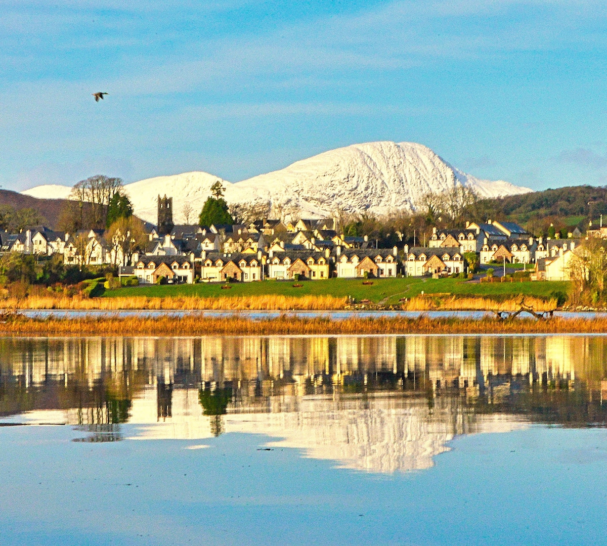 Pointe na bhFaoileannHeadland · 592 yd
 Sceilig BheagIslet · 1.6 mi
 LéimeHeadland · 7.0 mi
 Tráigh na SplinceBeach / strand · 8.7 mi