What is recorded here
In Killeen bog, S of Derrynaflan, a dryland island on which a monastery (TS054-002001-; TS054-002002-) is located. This togher (Wth 2.9m; D 0.38m; D 14.02m) was composed of densely laid transverse roundwood and heavy brushwood elements (diam. 0.03-0.15m; L 0.15-1m) visible in the drain face 0.2m below the field surface. The elements were orientated E-W, with the exception of a single longitudinal that was orientated N-S. It was also visible in the opposing drain face, with identical orientation. The peat was composed of moderately humified sphagnum-rich peat with eriophorum inclusions that were more frequent above the structure.
Compiled by: Jean Farrelly, based on the original survey description compiled by Jane Whitaker of Archaeological Development Services Ltd.
Date of upload: 07 November 2012
The monument record does not grant public access. Check the route and ask the landowner before entering private land.
- What survives
- Recorded monument
Places near here
 Church (in ruins)Church · 282 yd
 Gobban Saer's GraveArchaeological place · 365 yd
 DerrynaflanEcclesiastical enclosure · 395 yd
 Horse and JockeyVisitor information · 1.5 mi
 Grallagh CastleCastle · 1.5 mi
 Bog Castle (in Ruins)Castle, unclassified · 1.6 mi
 Enclosure in Killeen (killenaule Par.)Enclosure · 1.6 mi
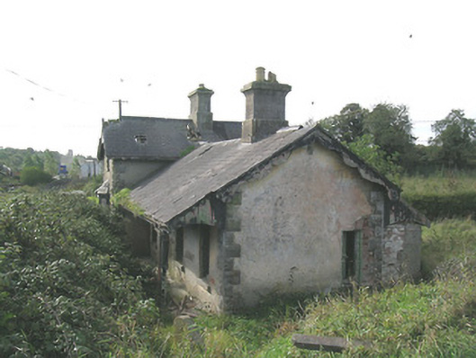 Laffansbridge Railway Stationrailway station · 1.7 mi
 Derrynaflan TrailHeritage attraction · 1.9 mi
 Gift Horse GalleryGallery · 2.3 mi
 Noan WoodWood · 2.7 mi
 Sweet ChestnutSweet Chestnut · 3.1 mi