What is recorded here
In Killeen bog, S of Derrynaflan, a dryland island on which a monastery (TS054-002001-; TS054-002002-) is located. A transversely laid roundwood togher (Wth 0.8-1.5m; D 0.05-0.1m; L 40m), which was visible on the field surface across four production fields. It is orientated NW–SE towards Derrynaflan. The composition of the togher is consistent along its length, with the densely laid elements providing a secure walking surface.
Compiled by: Jean Farrelly, based on the original survey description compiled by Jane Whitaker of Archaeological Development Services Ltd.
Date of upload: 06 November 2012
The monument record does not grant public access. Check the route and ask the landowner before entering private land.
- What survives
- Recorded monument
Places near here
 Church (in ruins)Church · 308 yd
 Gobban Saer's GraveArchaeological place · 373 yd
 DerrynaflanEcclesiastical enclosure · 430 yd
 Bog Castle (in Ruins)Castle, unclassified · 1.5 mi
 Enclosure in Killeen (killenaule Par.)Enclosure · 1.5 mi
 Horse and JockeyVisitor information · 1.6 mi
 Grallagh CastleCastle · 1.6 mi
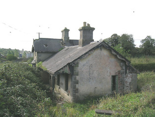 Laffansbridge Railway Stationrailway station · 1.6 mi
 Derrynaflan TrailHeritage attraction · 1.8 mi
 Gift Horse GalleryGallery · 2.3 mi
 Noan WoodWood · 2.7 mi
 Sweet ChestnutSweet Chestnut · 3.1 mi