What is recorded here
Located on a W facing slope in undulating pasture. Identified on an aerial photograph (ACP V203/94-5) as a possible ring-ditch. There is no visible surface remains.
Compiled by: Geraldine Stout
Date of upload: 22 October 2013
The monument record does not grant public access. Check the route and ask the landowner before entering private land.
- What survives
- Recorded monument
Places near here
 Carrowmore 32Archaeological place · 579 yd
 CashelFairy fort / stone ringfort · 776 yd
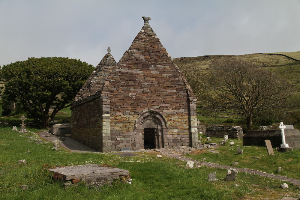 Kilmacowen Church (in Ruins)Church · 1173 yd
 Carrowmore Visitors CentreVisitor information · 1336 yd
 Carrowmore Megalithic CemeteryHeritage attraction · 1382 yd
 Kiln in BreeogeKiln · 1.0 mi
 CastleCastle, unclassified · 1.9 mi
 CarrigeenfaddaIslet · 2.0 mi
 Castle (in Ruins)Castle, unclassified · 2.0 mi
 Tobernalt Holy WellSpring · 2.6 mi
 Green IslandIslet · 2.9 mi
 Aghamore BayBay · 2.9 mi