What is recorded here
On a gently sloping terrace between the flood plain of the River Nore which flows NW-SE c. 2km to the E and the Dinin River which flows NE-SW c. 2km to the W, both joining c. 2km to the S, in gently rolling pasture. There are fair to good views in all directions. This ring-ditch was identified on aerial photograph CUCAP BGG067, 16 July 1971 and lies within one field where seven ring-ditches (KK014-006001- to KK014-006007-) are closely associated being c. 20-120m apart. They are not visible at ground level.
Compiled by: Jean Farrelly
Date of upload: 11 May 2020
The monument record does not grant public access. Check the route and ask the landowner before entering private land.
- What survives
- Recorded monument
Places near here
 Enclosure in ArdalooEnclosure · 349 yd
 Dinin Bridgebridge · 787 yd
 Enclosure in Springhill (fassadinin By.)Enclosure · 917 yd
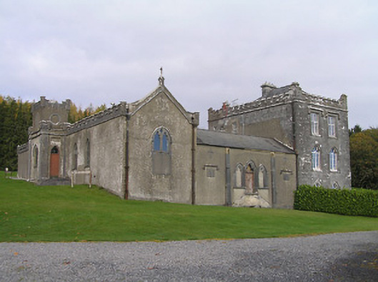 Jenkinstown Housechurch/chapel · 1088 yd
 Jenkinstown ParkForest · 1236 yd
 Ardaloo Castle (in ruins)Castle, unclassified · 1568 yd
 Saint Coleman's WellSpring · 1.0 mi
 Trinity WellSpring · 1.1 mi
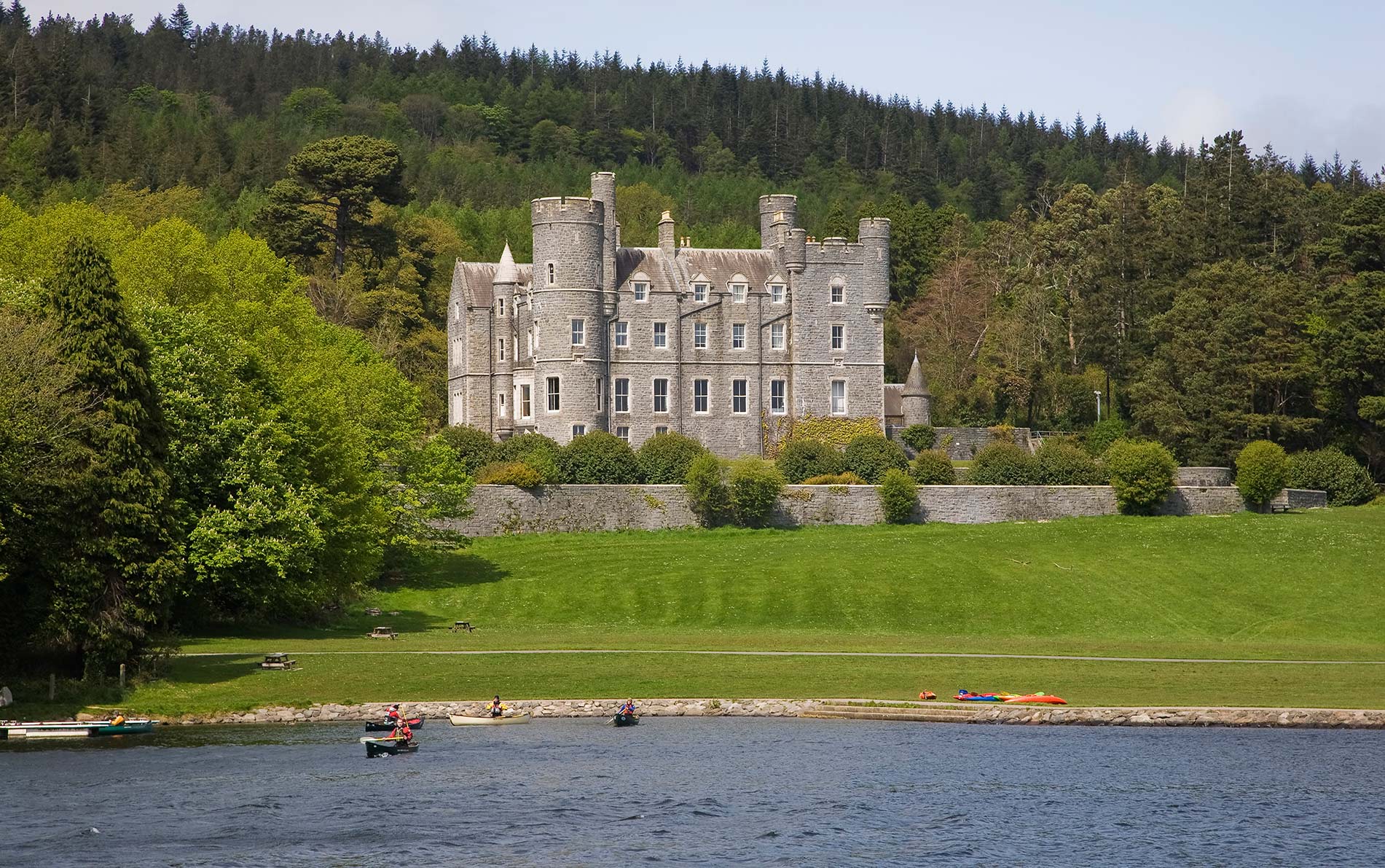 CastleCastle, unclassified · 1.1 mi
 Turkey OakTurkey Oak · 1.3 mi
 Graveyard in ThreecastlesGraveyard · 1.3 mi
 Mohil GraveyardArchaeological place · 2.0 mi