What is recorded here
Located at the crest of a N-facing slope. The cropmark of a circular feature (diam. c. 8m) defined by a single continuous fosse is visible only on Apple Maps (2018). The ring-ditch (ME038-058----) 1 is c. 55m to the NW. The features were first reported by Jean Charles Caillére.
See the attached enhanced view from Apple Maps (2018)
Compiled by: Michael Moore
Date of upload; 28 June 2021
The monument record does not grant public access. Check the route and ask the landowner before entering private land.
- What survives
- Recorded monument
Places near here
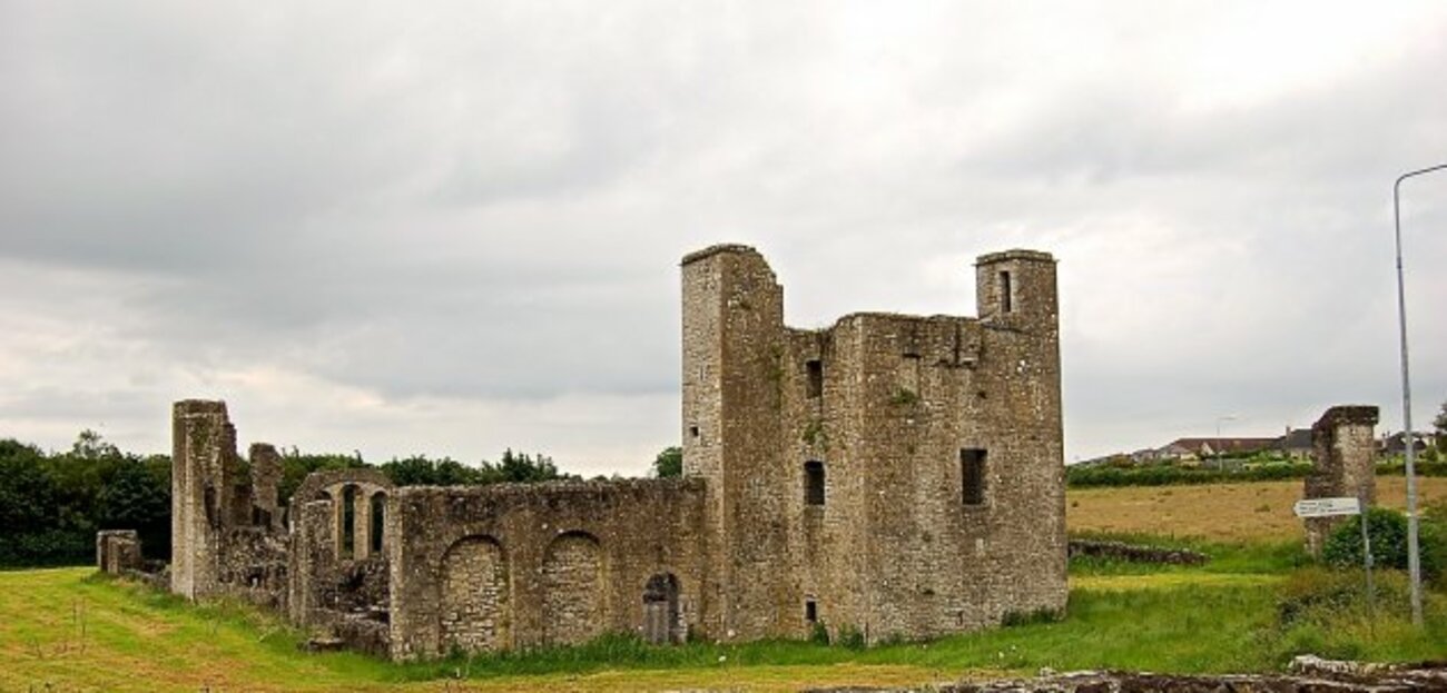 Enclosure in Painestown (skreen By.)Enclosure · 619 yd
 Enclosure in Irishtown (skreen By., Kilmoon Par.)Enclosure · 988 yd
 St. Munnas ChurchChurch · 1155 yd
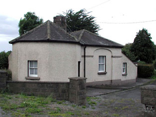 toll housetoll house · 1.1 mi
 Macetown CastleCastle, tower house · 1.2 mi
 Lemur WoodWood · 1.4 mi
 Emerald ParkHeritage attraction · 1.4 mi
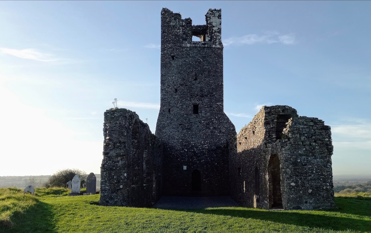 CastleCastle, motte · 1.9 mi
 Newtown HillMountain / peak · 2.2 mi
 PuddenhillHeritage attraction · 2.4 mi
 Newtown GorseWood · 2.5 mi
 Candle HillMountain / peak · 3.4 mi