
What is recorded here
Ring-ditch in Courtlough is a bivallate ring-ditch hidden beneath a large arable field in County Dublin, Ireland. Its two concentric ditches form an unbroken circle, with the outer reaching about 30.8m across and the inner about 16.7m across. It lies near older burial marks, suggesting the field has long held more than crops.
Located in the NE corner of a large arable field, c. 210m SE of cist and pit burials (DU005-079----), cropmarks indicate the presence of a subsurface bivallate ring-ditch. The ring-ditch, clearly visible on Google Earth imagery (7 May 2017), comprises an outer concentric ditch (ext. diam. c. 30.8m); Wth c. 2m) and inner ditch (ext. diam. c. 16.7m; Wth c. 2m). There are no obvious gaps across the ditches.
Compiled by: Tom Condit
Uploaded on 20 April 2020
The monument record does not grant public access. Check the route and ask the landowner before entering private land.
- What survives
- Recorded monument
Places near here
 Cist in CourtloughCist · 239 yd
 Enclosure in CourtloughEnclosure · 849 yd
 Man of Warhouse · 1014 yd
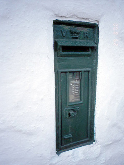 post boxpost box · 1026 yd
 Man O'War HillMountain / peak · 1270 yd
 Wavin LakesNature reserve · 1.3 mi
 Flat cemetery in DarcystownFlat cemetery · 1.4 mi
 Balrothery TowerCastle · 1.5 mi
 Balrothery Heritage CentreMuseum · 1.5 mi
 BBQ AreaPicnic place · 1.9 mi
 CastleCastle, unclassified · 2.0 mi
 Black Hill NurseryWood · 2.0 mi
Other information
Photo: Credit not shown in the picture search · Rights wording not checked; contact us if this picture should be removed