What is recorded here
In 2000 archaeological excavation by Donald Murphy revealed a burnt spread measuring c. 7m x 6m with a thickness of 0.48m. The burnt spread sealed an oval trough, which measured 3m x 1.8m and four pits. Carried out under licence No. 00E0215 (Bennett 2002, 323).
Compiled by: Caimin O'Brien.
Date of upload: 22 September 2008
The monument record does not grant public access. Check the route and ask the landowner before entering private land.
- What survives
- Recorded monument
Places near here
 Richmond Ho.House, fortified house · 607 yd
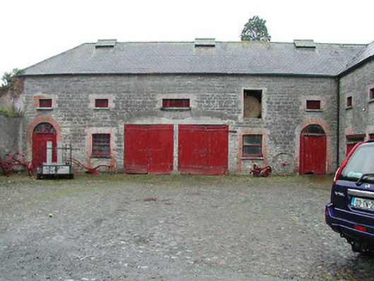 Solsborough Houseoutbuilding · 1310 yd
 Fulacht fia in Grallagh (monsea Par.)Fulacht fia · 1669 yd
 Annebrook Houseoutbuilding · 1.1 mi
 Enclosure in TullamoreEnclosure · 1.2 mi
 Nenagh Heritage CentreMuseum · 1.4 mi
 Nenagh CastleCastle · 1.5 mi
 Old BarracksHeritage attraction · 1.5 mi
 Knigh HillMountain / peak · 3.4 mi
 Blessed WellNature reserve · 3.4 mi
 Gibbet HillMountain / peak · 4.0 mi
 James Devaney MemorialMemorial · 4.1 mi