What is recorded here
St Mary's Carmelite Priory was founded in the 14th century by the Furlongs. The site was in disrepair at the Suppression in the 1541 when no description is given, but it also owned 120 acres at Horetown (White 1943, 366-7; Gwynn and Hadcock 1970, 289). The friars did not abandon the area but continued in the district as there are references to friars in 1620, and 1648, and friars served as curates at Cullenstown R C church when it was built. The last Carmelite friar was buried in Taghmon in 1817 (Grattan Flood 1915, 31). The location of the medieval friary is unknown but John O'Donovan writing c. 1840 says it was in the S part of Horetown townland (O'Flanagan 1933, vol. 2, 106), and Grattan Flood says it was close to Goff’s Bridge. Stones from the site were said to have been used to build the parish church of Horetown (WX041-001001-) (Lewis 1837, vol. 2, 9).
The above description is derived from the published 'Archaeological Inventory of County Wexford' (Dublin: Stationery Office, 1996). In certain instances the entries have been revised and updated in the light of recent research.
Compiled by: Michael Moore
Date of upload/revision: 20 March, 2013
St Mary's Carmelite Priory in Horetown was founded in the 14th century by the Furlongs and belonged to the Carmelite Order; it was dissolved in 1541 during the Suppression and had significant landholdings in the area.
The monument record does not grant public access. Check the route and ask the landowner before entering private land.
- What survives
- Recorded monument
Places near here
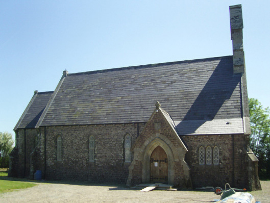 Saint James's Church (Horetown)church/chapel · 563 yd
 Church in Horetown SouthChurch · 564 yd
 Castle (In Ruins)Ruins · 1.1 mi
 Bawn in Tracystown WestBawn · 1.1 mi
 Ecclesiastical enclosure in BallyclemockEcclesiastical enclosure · 1.5 mi
 Enclosure in BallyclemockEnclosure · 1.5 mi
 Coolcliffe HouseRuins · 1.9 mi
 Carrickbyrne HillMountain / peak · 4.0 mi
 Camaross HillMountain / peak · 4.1 mi
 Glenour MonumentMemorial · 4.6 mi
 Carrig-On-BannowVisitor information · 5.9 mi
 1798 MemorialMemorial · 5.9 mi