What is recorded here
Situated in a low-lying landscape with a small NW-SE canalised stream or drain c. 200m to the NE. A concentration of eight ring-ditches, probably representing barrows, was recorded in July 2018 using a drone-mounted camera. They are in a limited area of about 10 acres (c. 4 ha) but are fairly dispersed, being c. 20-50m from their nearest neighbour. This is a faint circular feature (int. diam. c. 4m) defined by a continuous narrow fosse feature.
Compiled by Michael Moore based on details provided by Mathew Kelly and Steve McGlade.
Date of upload: 9 August, 2018
The monument record does not grant public access. Check the route and ask the landowner before entering private land.
- What survives
- Recorded monument
Places near here
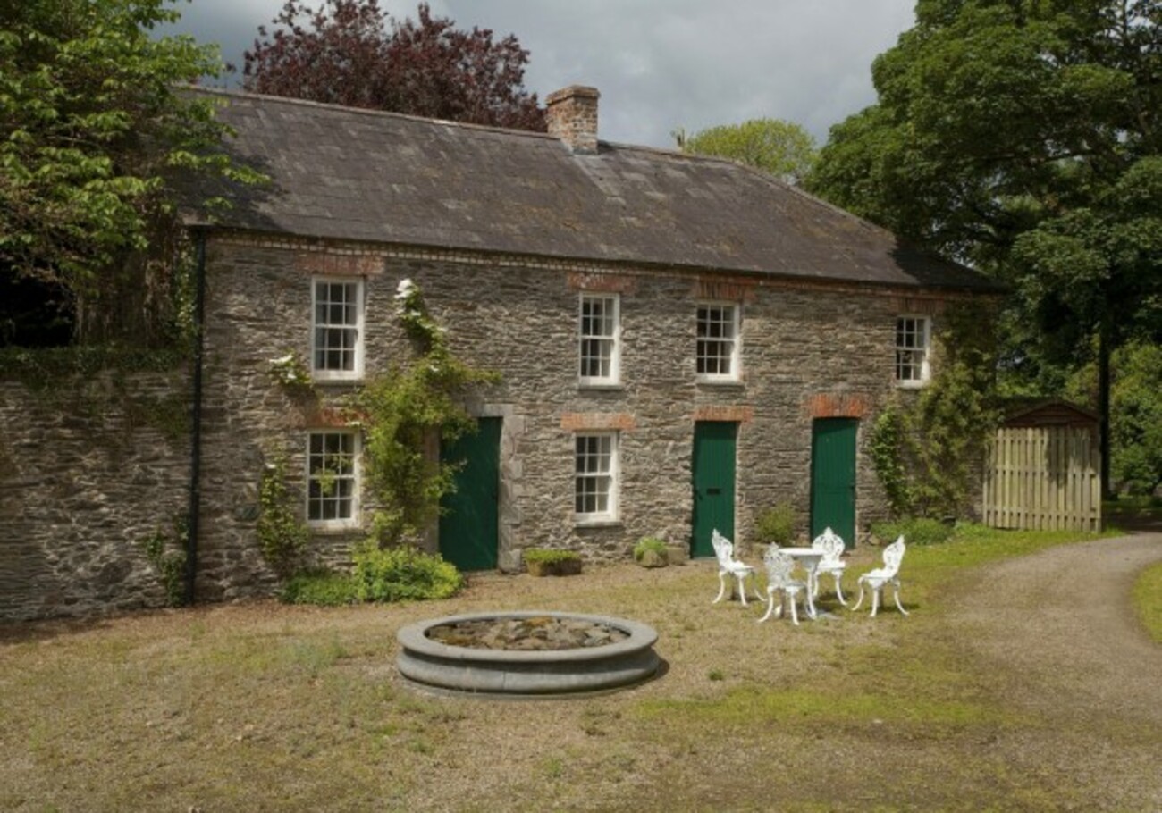 Enclosure in RedcowEnclosure · 89 yd
 Man-made underground passage in Carn MoreMan-made underground passage · 854 yd
 Battle of FaughartMajor battlefield · 1397 yd
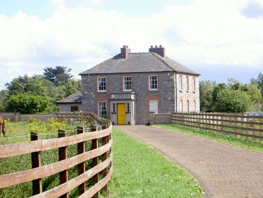 Mount Saint Franceshouse · 1529 yd
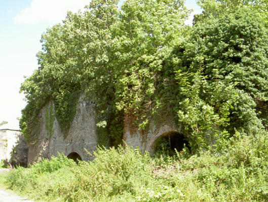 Mount Pleasant Lime Workskiln · 1.0 mi
 Faughart MoundCastle, motte · 1.3 mi
 Raskeagh FortCastle, motte and bailey · 1.4 mi
 MonascreebeMountain / peak · 1.9 mi
 John WattersMemorial · 2.0 mi
 Proleek DolmenArchaeological place · 2.0 mi
 Louth County MuseumMuseum · 2.0 mi
 Maid of ErinMemorial · 2.0 mi