
What is recorded here
One chamber, thirty metres of rock and shadow. Build it with every stone you can carry, leave the roof open, and walk the completed line at dawn. The grave is not a hole, but a room shaped like the distance between the last visible thing and the first forgotten one.
Situated on the E-facing spine of an E-W drumlin ridge. From a plan by H. G. Tempest made in 1936 (SMR file) this appears to be a wedge-tomb consisting of gallery aligned NE-SW, flanked by two buttresses and a single outer walling stone on the NW side. The gallery (L 3m; Wth 0.7m) has a short portico at SW. Two displaced roof stones lie across the gallery. The structure is incorporated in a mound (L 11m; Wth 5m). It is listed as a wedge tomb (de Valera and Ó Nualláin 1982, 131).
The above description is derived from the published 'Archaeological Inventory of County Monaghan' (Dublin: Stationery Office, 1986). In certain instances the entries have been revised and updated in the light of recent research.
Revised by: Michael Moore
Date of revision: 22 June 2018
Wedge tomb, dating to the Late Neolithic or Early Bronze Age, characterized by a NE-SW aligned gallery and flanking buttresses. Its construction reflects a regional tradition of megalithic tomb-building in Atlantic Europe.
The monument record does not grant public access. Check the route and ask the landowner before entering private land.
- What survives
- Recorded monument
Places near here
 Man-made underground passage in RauskerMan-made underground passage · 683 yd
 Man-made underground passage in DunmauriceMan-made underground passage · 1448 yd
 Fort HillWood · 1.0 mi
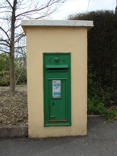 post boxpost box · 1.0 mi
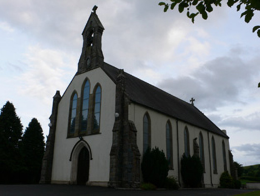 All Saints' Catholic Churchchurch/chapel · 1.1 mi
 Laragh WoodForest · 1.9 mi
 The CrescentMemorial · 4.2 mi
 John Francis GreenMemorial · 4.6 mi
 Bawn in OnomyBawn · 4.9 mi
 Blaney CastleCastle · 4.9 mi
 IllanshivansIslet · 4.9 mi
 Lough Egish IslandIslet · 5.0 mi
Other information
Photo: Credit not shown in the picture search · Rights wording not checked; contact us if this picture should be removed