What is recorded here
Ratona still holds a Rath, a circular earthwork built during the early Christian period when Fermanagh belonged to itself rather than to men. The ground remembers the shape of hands that moved it, perhaps for prayer, perhaps for warning, perhaps for a child learning the weight of soil. What is certain is that the circle resisted forgetting. Long after the names disappeared, the mound kept its edge against rain and grass, a quiet claim that someone lived there and refused to vanish.
The official Northern Ireland record identifies this as RATH. Recorded period: E.CHRIST.. The official map point was placed at the centre of the recorded archaeological site from the source map reference.
The monument record does not grant public access. Check the route and ask the landowner before entering private land.
- What survives
- Recorded monument
Places near here
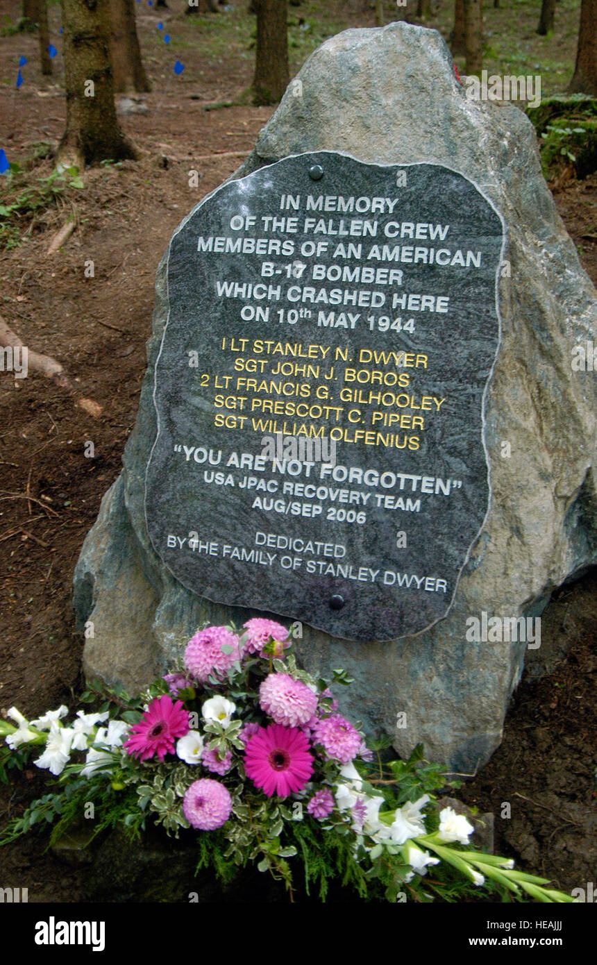 B17 Crash MemorialMonument · 1193 yd
 BURIAL GROUND/ ENCLOSURE in MagheradunbarBURIAL GROUND/ ENCLOSURE · 1.0 mi
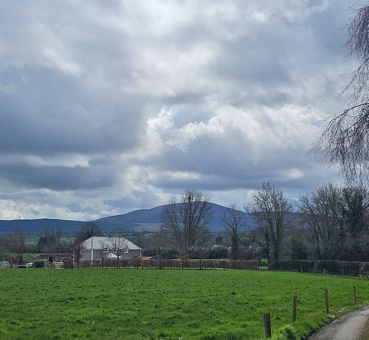 PLANTATION BAWN (unlocated) in MoyglassPLANTATION BAWN (unlocated) · 1.1 mi
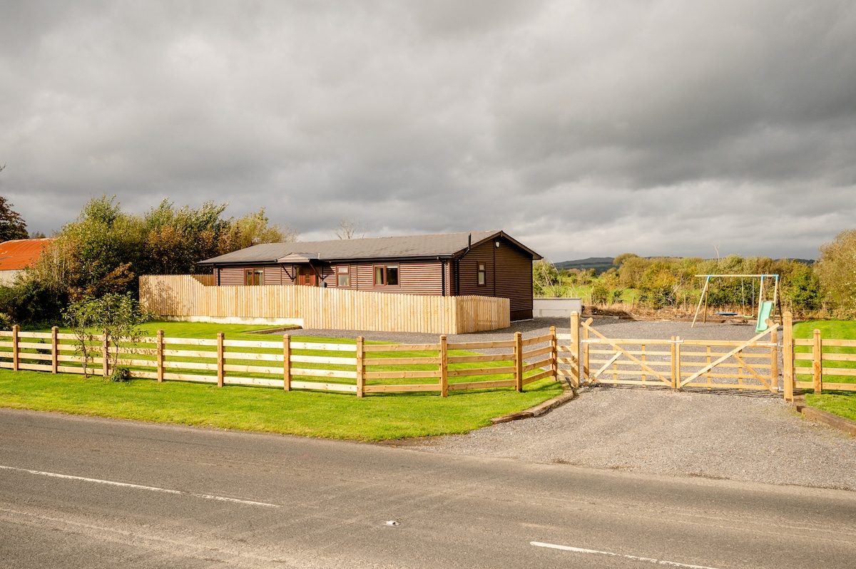 ENCLOSURE in CavanakeeryENCLOSURE · 1.2 mi
 FORTIFIED HOUSE (unlocated) in DrumbooryFORTIFIED HOUSE (unlocated) · 1.2 mi
 Rossorry ChurchChurch · 1.4 mi
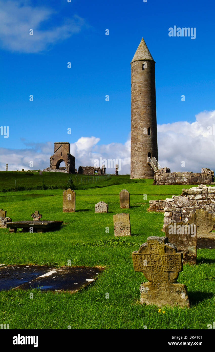
 MONASTERY; AUGUSTINIAN ABBEY; ROUND TOWERS; HOLY WELL: DEVENISH; CULDEE CHURCH & ST MARY'S ABBEY in Devenish (island)MONASTERY; AUGUSTINIAN ABBEY; ROUND TOWERS; HOLY WELL: DEVENISH; CULDEE CHURCH & ST MARY'S ABBEY · 2.1 mi
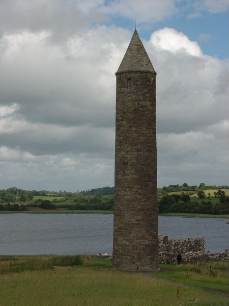 Devenish Island Round TowerViewpoint · 2.1 mi
 Devenish Monastic Site MuseumMuseum · 2.2 mi
 Devenish IslandIsland · 2.2 mi
 Castle IslandIslet · 2.3 mi
 Boer War MemorialMemorial · 2.4 mi