
What is recorded here
Indicated is a forty-metre fairy fort on a Kildare pasture slope, its shallow rim hidden beneath grass and forgotten field banks. Cattle still walk the buried circle while people overlook the top of the hill. What was kept inside has stopped answering, but the land remembers the shape of the keeper.
At the top of a long gentle E-facing pasture slope. A raised circular area (diam. 40m; H 1m) is defined by a low overgrown scarp SSE-W-NE and by a later field bank - possibly incorporating an earlier enclosing bank - NE-E-SSE.
Compiled by: Gearóid Conroy
Date of upload: 07 October 2013
The monument record does not grant public access. Check the route and ask the landowner before entering private land.
- What survives
- Recorded monument
Places near here
 Enclosure in Oldgrange (monasterevin Ed)Enclosure · 333 yd
 CastleCastle, unclassified · 460 yd
 Church of Saint John the Evangelist Fontstown)church/chapel · 1002 yd
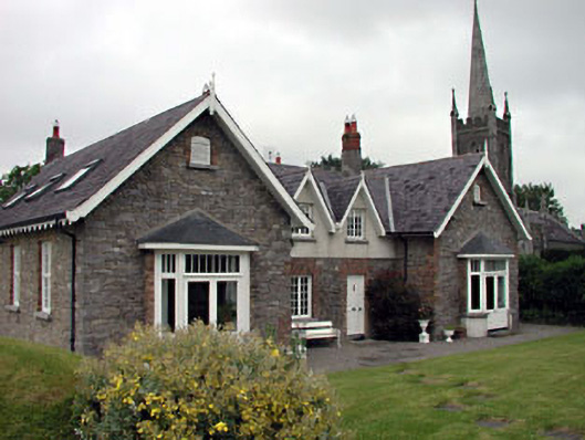 Old School Houseschool · 1008 yd
 Enclosure in Rathsillagh UpperEnclosure · 1084 yd
 Battle of Kilrushbattle · 1730 yd
 Narraghmore WoodWood · 1.9 mi
 Ardscull MoatCastle, motte · 2.4 mi
 Gorden Bennet Race memorialMemorial · 2.4 mi
 History of Moat of ArdscullVisitor information · 2.4 mi
 European BeechEuropean Beech · 2.4 mi
 1798 memorialMemorial · 6.0 mi
Other information
Photo: Credit not shown in the picture search · Rights wording not checked; contact us if this picture should be removed